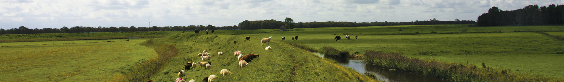
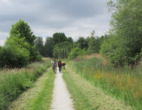
Choose your starting point
The starting points are easily accessible by car and usually also by public transport. Parking is available and you will usually find good catering facilities nearby. At each starting point you will find an information board showing the nicest walking routes in the immediate vicinity. You can choose from an array of circular walks, with distances ranging from 2 to 12 km, all signposted in two directions with coloured arrows.
Prefer a longer walk?
Then a themed route is ideal.
Characteristics
Quick search
139 results
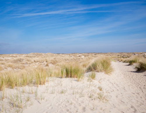

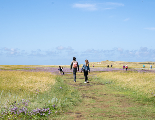
De Hors
De Hors is a newer part of Texel, shaped by the sea and wind. This dynamic coastal area is constantly changing: sandbanks interweave, dunes appear and then disappear. The valleys are rich in flora

De Koog
Only a row of dunes separates De Koog from the beach and the sea, which makes the village the top seaside resort of Texel. From the Dorpsstraat, you can walk straight to the beach, making De Koog

De Krim
The name De Krim is Dutch for Crimea and has to do with the peninsula in the Black Sea. The northern tip of Texel was given this name during the bloody Crimean War (1853-1856). Although this war was

De Slufter
De Slufter is a unique nature reserve that has an open connection to the sea. During heavy storms, the entire creek system floods. The views from the high dune ridge at the Sluftertrap will give you
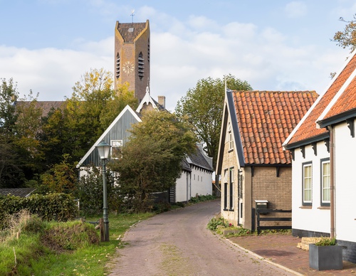

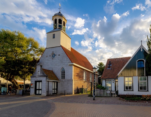
De Waal
De Waal is Texel's smallest village. Its beautiful historic houses, farms and church on the terp mound give it a serene beauty. The varied landscape around De Waal also has a rich history.
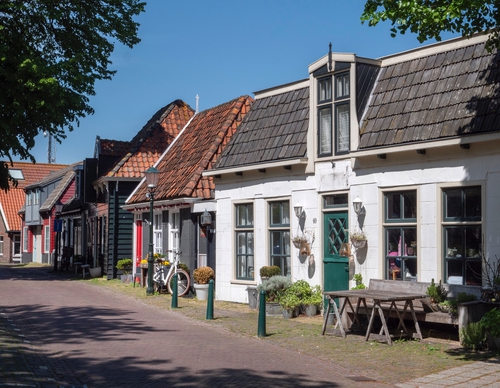

Den Burg
The centre of Den Burg is well above sea level and has always been a safe place for the islanders to settle. The village's history dates back to the 7th century. As evidenced by the names Binnenburg
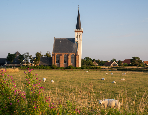

Den Hoorn
Den Hoorn's clay embankment has been inhabited for centuries. The village was once located along the sea and was called the Clijf. The All Saints’ Flood of 1170 turned the old Marsdiep into a tide


Diemen-Zuid Station Starting Point
This modern part of Diemen borders on the Bijlmer district. On the north side, the buildings have swallowed up the original Venserpolder with its former Ouderkerkerkerlaan. But on the south side,

Diemerbos Starting Point [TOP]
Diemerbos is a relatively young park, planted in the 1990s in the open Gemeenschapspolder. During construction, various tree trunks from 3,000 year-old bog oaks were found in the soil. These were

Driemond Starting point [TOP]
Driemond is located in the Gemeenschapspolder area at the confluence of three rivers: the Gein, the Gaasp and the Smal Weesp. Originally the Smal Weesp was a tributary of the River Vecht, but the