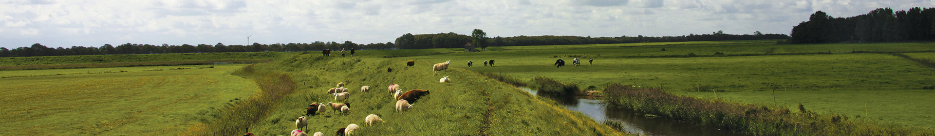
Choose your starting point
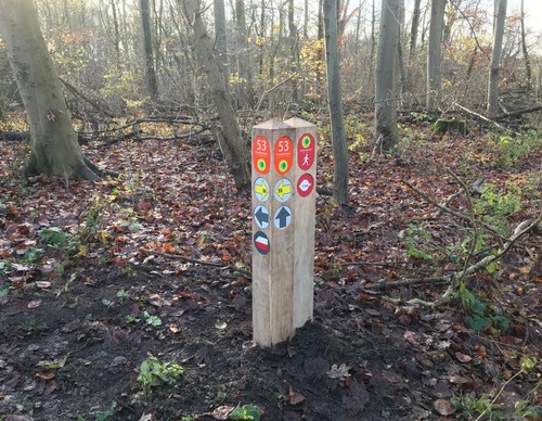
The starting points are easily accessible by car and usually also by public transport. Parking is available and you will usually find good catering facilities nearby. At each starting point you will find an information board showing the nicest walking routes in the immediate vicinity. You can choose from an array of circular walks, with distances ranging from 2 to 12 km, all signposted in two directions with coloured arrows.
Prefer a longer walk?
Then a themed route is ideal.
Characteristics
Quick search
139 results


Elsenhove Amstelveen Starting Point (touris transfer point)
Elsenhove recreational area was built around the eponymous Speelboerderij (play farm). This landscape park is like the Amstelland landscape in miniature: a farm with elevated ‘higher grounds’

Fort aan de Drecht Starting Point (tourist transfer point)
Both the Fort aan de Drecht and the Fort bij De Kwakel slightly further along are part of the Defence Line of Amsterdam. This 120 km long line of defence around the capital was built at the end of

Gaasperplas Metro Starting Point
You are now at the entrance of the Gaasperpark recreational area, south of the A9 which cuts through the middle of the Bijlmer housing estate. The Gaasperplas lake is a quarry, the sand of which was

Gaasperplas Zuidoever (Beach) Starting Point
The Gaasperplas lake is a quarry, the sand of which was used for the construction of the Bijlmermeer district. In the early 1980s, the north side of the lake was transformed into a green Floriade, an

Geitenboerderij (Goat Farm) Starting Point
The route takes you from the car park to the Ridammerhoeve, which has been operating as a goat farm since 1988. The biodynamic farm is a fun place for young and old, for everything from goat's ice

Heemparken (Botanical Parks) Starting Point
The Amstelveen botanical parks are internationally known and visitors from near and far come to enjoy the wildflowers and plants. The first walking park was built shortly before the war along the

Het Buitenhuis Velsen-Zuid Starting Point
This is the starting point for three hiking trails through the Spaarnwoude recreation area: a varied area of forests, polder landscapes, peat meadows, marshes and water. You will be hiking on paved

Hoge Berg
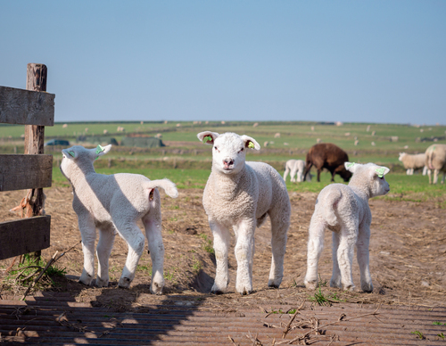
The Hoge Berg is a moraine covered in boulder clay and sand and dates back to the penultimate ice age. Characteristic of this iconic landscape are the rolling meadows where sheep have traditionally
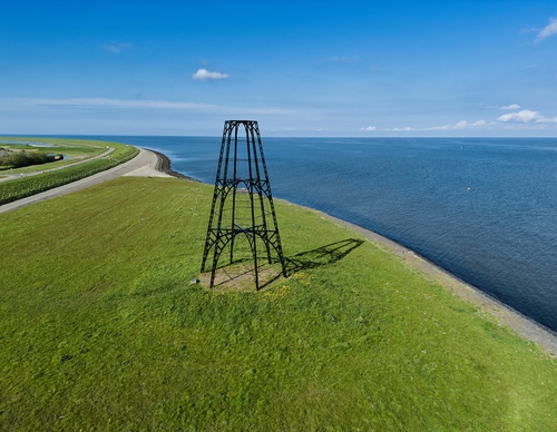

IJzeren Kaap
The IJzeren Kaap marks the location of the Oosterend fishermen's 19th century oyster harbour. Texel oysters were famous at the time. The fishermen harvested the beloved shellfish using oyster dredges


Jan Ayeslag
The Jan Ayeslag marks the transition between Bollekamer and Westerduinen and borders the southern edge of the De Dennen forest. In the late 19th century, the 'wild mientgronden' were drained and