
Search results
Characteristics
Quick search
489 results
Region
Length
Characteristics


Willemsoord Route (red)
The red Willemsoord Route explores the south-west side of the former naval dockyard Willemsoord, the Koopvaardershaven and two defence forts: Fort Dirksz Admiraal and Fort Westoever. The route is waymarked in both directions with red arrows.
9.36 km- (2)

Napoleon Route (orange)
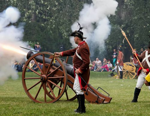
The Napoleon Route (orange) in Den Helder partly follows the purple Route but also includes Fort Dirksz Admiraal, built for Napoleon between 1811 and 1813. The route is waymarked in the field with orange arrows. Napoleon Bonaparte wanted to establish a naval harbour in the northern Netherlands.
11.22 km- (6)

Grafelijkheidsduinenroute (red)
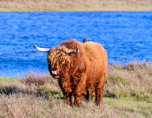
The red Grafelijkheidsduinen Route runs along the foredunes to Fort Kijkduin in Huisduinen, returning along the eastern edge of the Grafelijkheidsduinen and through the Donkere Duinenbos. The route is waymarked in both directions with red arrows.
8.72 km- (3)

Wieringermeerdijk Route (purple)
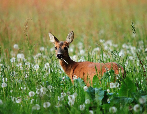
The purple Wieringermeerdijk Route also runs across the Dijkgatsweide along a footpath, stepping stones across a channel and along the woodland edge to the unpaved IJsselmeer dyke, with wide views over the polder and the lake. The route is waymarked in both directions with purple arrows.
5.98 km- (9)

Dijkgatsweide Route (black)
The black Dijkgatsweide Route runs north to a water-rich bird paradise between Dijkgatbos and Robbenoordbos. The route is waymarked in both directions with black arrows.
5.25 km- (3)

Sluitgatbosroute (yellow)
The yellow Sluitgatbos Route explores the southern part of the woodland, notable for its variety and subtle changes in elevation – perhaps the most attractive section. The route is waymarked in both directions with yellow arrows.
3.07 km- (2)

Dijkgatbos Route (blue)
The blue Dijkgatbos Route explores the central part of the woodland and offers views over the Noordelijk Wiel and Zuidelijk Wiel. The route is waymarked in both directions with blue arrows.
2.31 km- (0)

Woudmeer Route (purple)
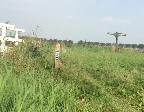
The purple Woudmeer Route runs south from the Meertje van Dirkshorn along the scenic Woudmeerpad beside the ring canal of Waarland. It continues entirely over grass to Oudkarspel and returns along the Ambachtsdijk and the Oosterdijk, further on known as the Dorpsstraat. This route is waymarked in
9.74 km- (5)

Groenveld Route (red)
The red Groenveld Route runs largely over grass towards the hamlet of Groenveld, along the western embankment of the Voorpolder and the ring canal of the Schagerwaardpolder. It also passes through the hamlet of Stroet. This route is waymarked in both directions with red arrows.
4.66 km- (2)

Galgenkade Route (green)
The green Galgenkade Route runs towards Groenveld and crosses the Galgenkade at the Valkkoog pumping station, where criminals were once hanged as a deterrent. It continues along the Groenvelderweg between the golf courses. This route is waymarked in both directions with green arrows.
4.62 km- (1)