
Search results
Characteristics
Quick search
489 results
Region
Length
Characteristics
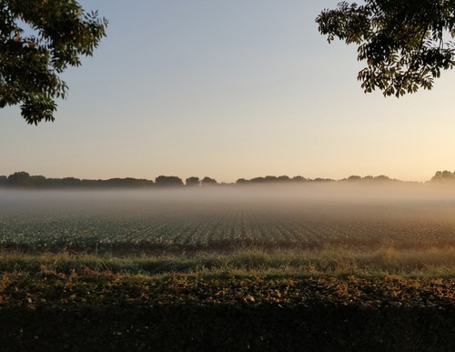

Middenmeer Route (blue)
The blue Middenmeer Route is an attractive circular walk around the village. The route is waymarked in both directions with blue arrows.
3.82 km- (0)


Nolletjes Route (yellow)
The yellow Nolletjes Route runs to De Helderse Vallei and the undulating salt-marsh dunes (‘nollen’) near Den Helder Zuid station. The route is waymarked in both directions with yellow arrows.
10.63 km- (0)


Napoleon Route (orange)
The Napoleon Route runs along the covered way behind the Liniedijk, with a detour to Fort Kijkduin. This fort was also built for Napoleon (1811–1813) and later strengthened and armoured to serve as part of the Stelling Den Helder. It now houses a museum and North Sea aquarium. Napoleon
11.22 km- (7)

Lange Jaap Route (green)
The green Lange Jaap Route runs along the covered way behind the Liniedijk and runs to Fort Dirksz Admiraal, the railway station, the town centre and the sea dyke. At Oude Helder, it runs to the red Lange Jaap lighthouse (1878). The route is waymarked in both directions with green arrows.
8.76 km- (0)
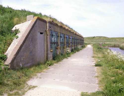

Fort Kijkduinroute (purple)
The purple Fort Kijkduin Route runs along the sea dyke past the red lighthouse Lange Jaap (1878) to Fort Erfprins with its green ravelins and also passes the Liniedijk. The route is waymarked in both directions with purple arrows. This route was the circular walk of the month in December 2020.
7.46 km- (1)
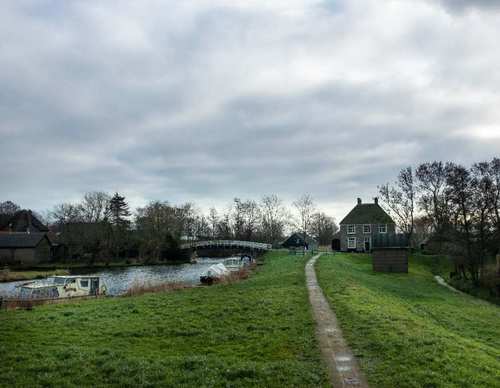

Verlaat (purple)
The purple Verlaat Route leads through the dyke hamlet of Terdiek to Oude Niedorp and its lock. It continues along the grass dyke on the north side of the canal. The route is waymarked in both directions with purple arrows.
9.44 km- (9)
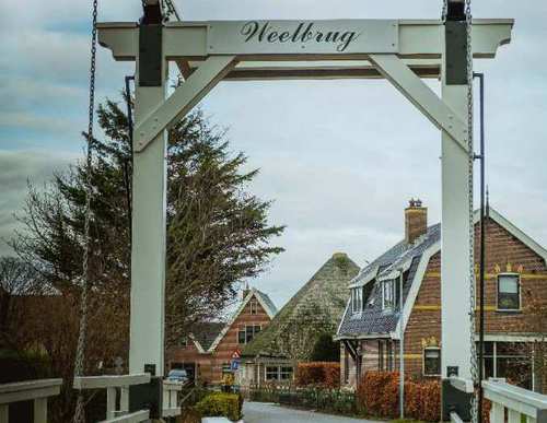

Leijenroute (black)
The black Leijen Route runs alongside the Rondje Waarland at first, then turns right at the Weelbrug towards ’t Veld. It continues along the grass verge beside the tree-lined Leijerpolderweg and along the grass dyke on the north bank of the canal. The route is waymarked in both directions with
8.57 km- (0)

Rondje Waarland (green)
The Rondje Waarland Route (green) starting from ‘t Verlaat near Nieuwe Niedorp, explores the Boomerwaal nature reserve managed by Staatsbosbeheer (Dutch Forestry Commission). It follows the grass dyke of the Boomerpolder, crosses the Boomervaart using a high footbridge and continues along
7.03 km- (6)
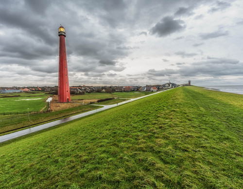

Lange Jaaproute (green)
The green Lange Jaap Route runs through the town centre to the sea dyke, passing the rebuilt Oude Helder and continuing towards the Lange Jaap, the red lighthouse dating from 1878. It then runs around Fort Erfprins and along the Liniedijk.
8.76 km- (4)
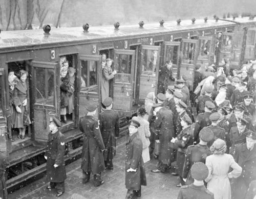

Marsdiep Route
Discover Den Helder through 10 distinctive locations Fishermen, lifeboat crews, shipwrights and the navy have transformed the village of Helder into a town over the past 200 years. Den Helder enjoyed prosperous years until the Second World War. After the war, the heavily bombed town had to be
4.1 km- (2)