
Search results
Characteristics
Quick search
489 results
Region
Length
Characteristics


Helderse Vallei Route (black)
The black Helderse Vallei Route explores the southern edge of the dune area and the adjoining Mariëndal nature area. The route is waymarked in both directions with black arrows.
2.63 km- (0)

Nolletjesroute (yellow)
The yellow Nolletjes Route runs to the Liniedijk and the green ravelin of Fort Dirksz Admiraal, part of the Stelling Den Helder military line, and continues to the undulating salt-marsh dunes (‘nollen’) near Den Helder Zuid station. The route is waymarked in both directions with yellow arrows.
11.4 km- (6)
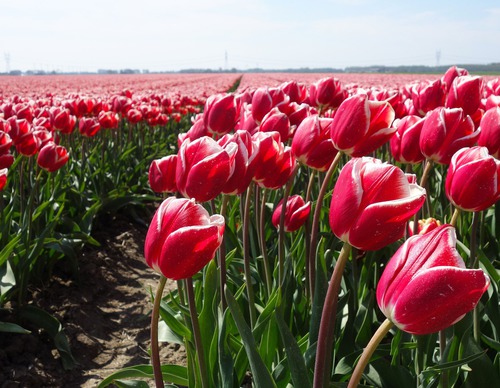

Koegrasroute (orange)
The orange Koegras Route runs through the bulb fields of the Koegras polder to the ‘De Zandloper’ beach access point in Julianadorp aan Zee, returning through the Noordduinen. The route is waymarked in both directions with orange arrows.
9.39 km- (4)
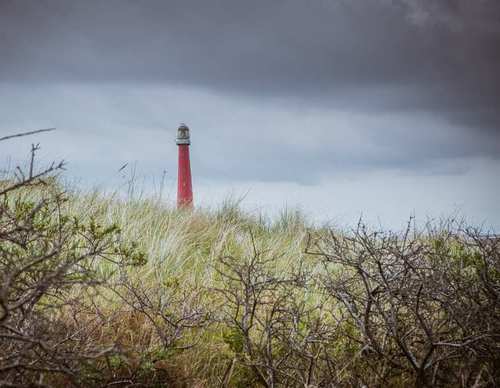

Grafelijkheidsduinenroute (red)
The red Grafelijkheidsduinen Route runs along the foredunes to Fort Kijkduin in Huisduinen, returning along the eastern edge of the Grafelijkheidsduinen and through the Donkere Duinenbos. The route is waymarked in both directions with red arrows.
8.72 km- (13)

Donkere Duinen route (blue)
The blue Donkere Duinen Route runs along the 17th-century Zanddijk and the foredunes, and through the Donkere Duinenbos. The route is waymarked in both directions with blue arrows.
6.1 km- (12)

Mariendal route (green)
The green Mariëndal Route is a short exploration of this wooded valley. The route is waymarked in both directions with green arrows.
2.15 km- (0)

Aartswoud Route (green)
The Aartswoud Route (green) initially follows the Tramway Route, then turns off at Winkel towards the West Frisian Ring Dyke. Via the Groeterpolder (1847), you follow farm tracks to the sheep-rich grassy dyke beside Groeterkanaal, thanks to the farmers and landowners who open up their land. At
15 km- (3)
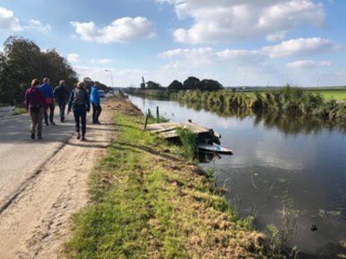

Tramway Route (blue)
The Tramway Route (blue) runs to neighbouring Winkel, partly along the embankment of the former Schagen–Wognum–Hoorn tramway (1898–1935). The route also follows the grassy dyke beside the canal.
6.85 km- (5)
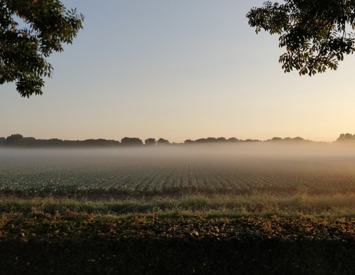

Dolfijnen Route (yellow)
The Dolfijnen Route (yellow) from Middenmeer extends the red route along more farm tracks, running straight across the fields to the Dolfijntocht and the Westerterptocht. This section is made possible thanks to the cooperation of the farmers Niek and Ernst Granneman, Frank Hoitink, Ane van Straten,
7.07 km- (2)

Huis van Middenmeer Route (red)
The red Huis van Middenmeer Route runs to a real gem in the polder: the tea house in the Huis van Middenmeer home store. It continues through the rear yard and a farm track belonging to the Scholten family to the green Praamweg, then returns to the village. The route is waymarked in both directions
2.8 km- (1)