
Search results
Characteristics
Quick search
489 results
Region
Length
Characteristics
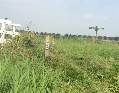

Meer Route (blue)
The blue Meer Route is a circular walk along shell paths and grass embankments around the Meertje van Dirkshorn, a water storage area in the Koetenburgpolder. It then runs past the sports fields along the green eastern embankment of the Voorpolder. This route is waymarked in both directions with
2.73 km- (0)
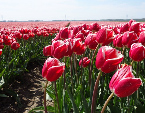

Koegras Route (orange)
The orange Koegras Route runs from Julianadorp through the bulb fields of the Koegras polder, through De Helderse Vallei and the Noordduinen. This route is waymarked in both directions with orange arrows.
9.39 km- (4)
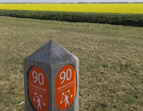

Noordduinen Route (purple)
The purple Noordduinen Route runs south through the Noordduinen, turning at the Callantsogervaart and returning along the green western edge of Julianadorp. In the opposite direction, the same landscapes are experienced from a different perspective. This route is waymarked in both directions with
8.47 km- (0)
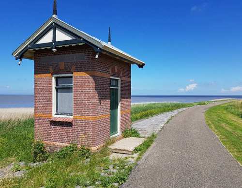

Westkliefroute (yellow)
The Westerklief Route (yellow) runs towards the Wadden side of the western boulder clay hill of Wieringen, then continues through to the cliff area. Westerklief takes its name from the time when Wieringen was an island. It was then one of the highest points on the island. People settled here to
9.69 km- (6)
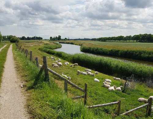

Hoelmroute (green)
The green Hoelm Route runs through the low-lying Hoelmerkoog behind the dyke, with its green meadows and old duck decoy. The route starts to climb at the Westeren Oosterklief (‘klief’ is Wieringen dialect for cliff). Vikings are thought to have lived here between 850 and 900, as evidenced by
5.02 km- (6)


Postbootroute (red)
The green Hoelm Route runs through the low-lying Hoelmerkoog behind the dyke, with its green meadows and old duck decoy. The route starts to climb at the Westeren Oosterklief (‘klief’ is Wieringen dialect for cliff). Vikings are thought to have lived here between 850 and 900, as evidenced by
3.64 km- (2)

The Balgkanaal Route (red)
The Balgkanaal Route (red) in Breezand, goes past the bulb fields to De Kooij and over the grassy dike along the Balgkanaal, then over a small bridge and along the Zandvaart canal. Along the way, you'll look out over Balgzand, a key crossroads of bird migration routes. In autumn, thousands of
9.62 km- (5)

The Noordhollandsch Kanaal Route (green)
The Noordhollandsch Kanaal Route (green) in Breezand, runs via the Zand en Molenvaarten canals to Westeinde with its ferry (since 1849). You also walk on the grass dike (the east dike of the Koegras polder) with all its sheep and along the Noordhollandsch Kanaal (Great North Holland Canal).
6.09 km- (1)
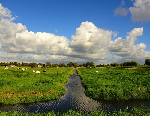

Westfriesedijkroute (yellow)
The yellow Westfriesedijk Route extends the Barsingerhorn Route, continuing to the Westfriese Omringdijk (c. 1200–1250), which made it possible to reclaim the mudflats here (Kaagpolder). It also passes through Kolhorn, formerly a fishing harbour on the Zuiderzee. The route is waymarked in both
15.06 km- (3)
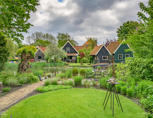

Gemalenroute (blue)
The blue Gemalen Route passes through the long linear village towards Kolhorn. It continues past the disused Schagerkogge pumping station, built in 1927 in Amsterdam School style, then to its predecessor at the Molenkolk (a steam-powered pumping station from 1871) and its successor (the Kolhorn
9.4 km- (7)