
Search results
Characteristics
Quick search
489 results
Region
Length
Characteristics
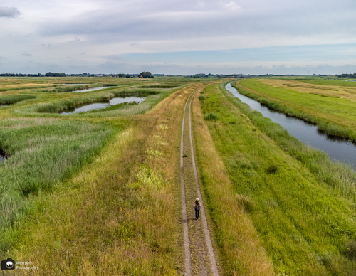

Volgermeer Circuit (yellow)
The Volgermeer Circuit (yellow) goes straight through Volgermeer on the outward leg and follows the eastern edge of the area on the return, with views of Belmermeer, a seventeenth-century reclaimed polder.
4.31 km- (0)
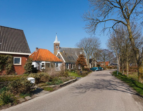

Green route from starting point Valkkoog
This circular walk through the Valkkoog polder runs across several pastures, along the Valkkogerdijk and past two breach pools. These deep pools were formed by dyke breaches, after which new sections of dyke had to be built around them by an army of dyke workers. Today they are fringed with reeds
5.26 km- (2)
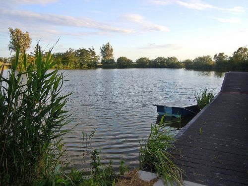

Orange route from starting point Sint Maarten
The route runs along the grass verge of the Valkkogerdijk and across several pastures. It also passes two breach pools near the cemetery and campsite south-east of Sint Maarten. Note: from mid-October to early December there is a small chance that a bull may be grazing in the fields around marker
3.64 km- (1)
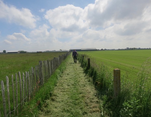

Blue route from starting point Sint Maarten
The Herenweg and Wijzendweg follow former secondary dykes behind the medieval sea dyke. Until the end of the 16th century, the Zijpepolder was still filled with seawater. Continuing to marker 57 from marker 55 offers fine views over the Modderwiel and the Dijkstalwiel. These pools are silent
3.29 km- (4)

Red route from starting point Sint Maarten
The Wijzendweg and Herenweg follow former secondary dykes behind the medieval sea dyke. Until the end of the 16th century, the Zijpepolder was still filled with seawater. The farm track is closed between markers 56 and 57 from 15 March to 15 June during the breeding season. During this period, the
4.25 km- (1)
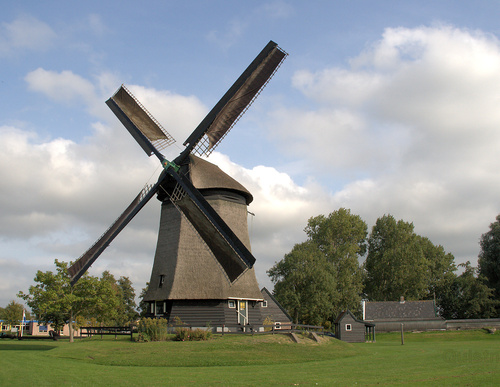

Circular walk Schaapskuilmeer (orange)
From the starting point, the route runs westwards through pastures. Through the Bleekmeerpolder (1632), it follows the grass dyke along the north bank of the Alkmaar-Kolhorn Canal. The route passes the Waertmolen (1571) and the small marina at Waarland.
5.64 km- (3)
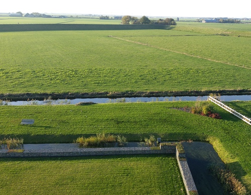

Nuwendore circular walk (yellow)
The circular walk runs through the medieval village of Eenigenburg, built on raised mounds, to the Huys te Nuwendore, then along a farm track to the Westfriese Zeedijk, also known as the Omringdijk. A visit to the Eenigenburg Museum offers fascinating insights into how people lived here in the
5.01 km- (1)
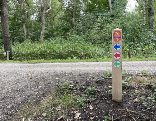

Oosterbnroek route
The Oosterbroek route (green) passes through undulating terrain. Did you know that the ground you will be walking on consists of construction and demolition debris? When the waste was literally piling up in the late 1960s, it was decided to construct three mounds some 25 to 30 metres high. The
4.93 km- (5)


Dune and Polder Route (purple)
The Dune and Polder Route (purple) crosses the rolling landscape of the nollen: wind-blown sand hills or small drifting dunes named after the West Frisian word for dune. The most beautiful section of the route follows the municipal boundary of the former manorial estates. In the Middle Ages, noble
5.81 km- (1)

Schoonwater Valley Walk (orange)
The Schoonwater Valley Walk (orange) passes through the catchment area of the Oer-IJ and the Schoonwater Valley, a nature area with two water-storage basins. This route is closed during the breeding season (1 March–1 July). No dogs allowed.
4.5 km- (4)