
Search results
Characteristics
Quick search
489 results
Region
Length
Characteristics


Stad van de Zon Circuit (blue)
The Stad van de Zon Circuit (blue) is a longer walk. To the south is Huygendijkbos, an undulating woodland of broad-leaved trees and open meadows.
9.62 km- (1)

Waterside Route (yellow)
The Waterside Route (yellow) views Stad van de Zon from the north-west. Here too, you can enjoy the expansive waterscape.
3.64 km- (0)

Energy and Sun Route (red)
The Energy and Sun Route (red) explores the south-eastern part of the district. Everything revolves around water, wind and sun. From the Meer van Luna, you have a fine view of the district and its many solar panels. Winding paths and watercourses make the Flow Labyrinth, an ecological
3.94 km- (0)
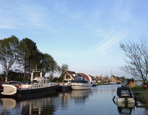

The Canal Path Route (yellow)
The Canal Path Route (yellow) is a short circular walk along surfaced paths and cycle paths along the Alkmaar (Omval)–Kolhorn Canal. The route also connects with the Sint Pancras starting point.
4.12 km- (2)
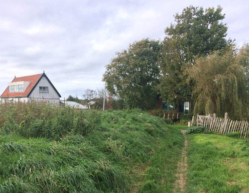

The Eerstelingen Path (red)
The Eerstelingen Path (red) was developed by Tourism Langedijk and the Oneindig Noord-Holland Foundation. The route takes you around Oosterdel, the last remaining part of the Realm of a Thousand Islands. It is named after the Eersteling potato variety, which was grown in this area. A route booklet
4.44 km- (3)
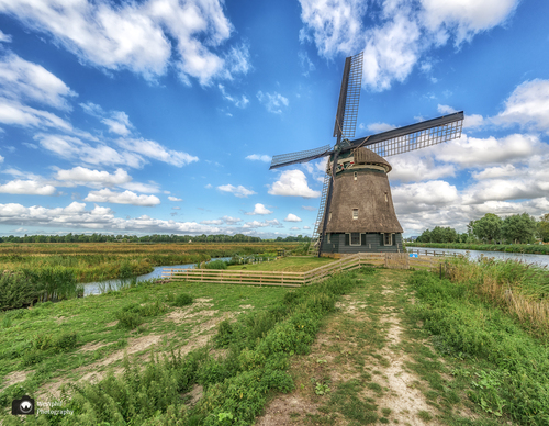

The Thousand Islands Route (blue)
The Thousand Islands Route (blue) takes you through the Realm of a Thousand Islands. This area was once home to over 15,000 small islands, created by dredging peat for fuel. When most of the ditches were filled in halfway through the last century, the islands disappeared too. Remnants of the old
8.33 km- (15)
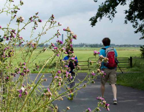

North-Holland Route
The ‘Helderse Duinen’ themed route combines nature, culture and the maritime history of Den Helder. It runs through dunes, woodland and polder landscapes, along winding paths in the dunes and also along the solid dyke with fine views over the sea, where naval vessels, submarines and sometimes
182.81 km- (1)
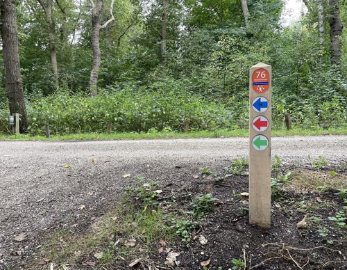

Velserbroek Walk (purple)
The Rondje Velserbroek trail (purple) crosses Zijkanaal B and the A9 and will take you almost entirely around the Westbroekplas. Continuing through the green veined residential area of Velserbroek, you will return to Boerenerf Spaarnwoude, traditionally known as Zorgvrij.
7.02 km- (1)
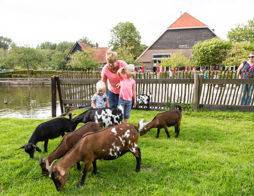

Wijkermeer Walk (blue)
The Wijkermeer Walk (blue) near Velsen-Zuid mainly travels over land that was drained barely 150 years ago. Before that time, the Zuiderzee reached far inland via the IJ and the Wijkermeer. Nowadays you have a view over the golf course (with restaurants). The green is then exchanged for the blue of
6.35 km- (5)
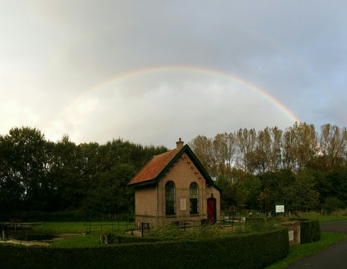

Velserdijk Route (red)
On the Velserdijk Route (red) near Velsen-Zuid you walk past Het Buitenhuis and Villa Zomerdijk, both with terraces. The walk goes over the centuries-old Velserdijk for a bit, which once had to hold back the salty water of the IJ. The route crosses Zijkanaal B at Villa Zomerdijk. This branch of the
5.76 km- (1)