
Search results
Characteristics
Quick search
489 results
Region
Length
Characteristics


Purple route from starting point Sint Maarten
The purple arrows mark this scenic route, which returns along part of the Schagerwiel, a lake formed after a breach of the Westfriese Omringdijk and flooding in 1248. Bringing binoculars is a must for observing the many birds!
5.5 km- (2)

Blue route from starting point Valkoog
The blue circular walk runs past two breach pools and along a farm track to the church of Valkkoog, which dates partly from the 16th century and partly from the 19th century.
3.46 km- (1)
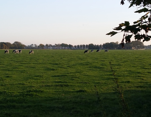

Sea-green route from starting point Eenigenburg (sea-green)
The sea-green circular walk runs along a farm track to the western edge of Tuitjenhorn and returns past the small village museum in the hamlet of Surmerhuizen. Between markers 64 and 66, a short detour leads to the church mound, a particularly attractive spot with its parsonage and sexton’s
5.26 km- (1)
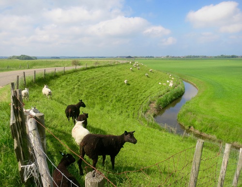

Purple route from starting point Eenigenburg (purple)
The purple circular walk runs along the Westfriese Omringdijk, winding past the two Burgerwielen pools and through the polder north of Eenigenburg along farm tracks and country lanes. This route can be combined with a visit to Museum Eenigenburg.
6.8 km- (2)
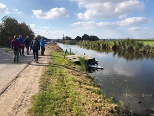

Orange Buitenplaats Route
The orange Buitenplaats Route runs along the old Selschardijk in the hamlet of Zijbelhuizen towards Eenigenburg. It continues along a farm track at the De Buitenplaats farm campsite and through the attractive northern fork of Warmenhuizen: De Fuik (formerly a dead end) and the Oostwal.
5.65 km- (1)
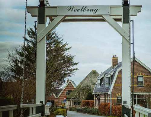

Klein Rondje Waarland (green)
The green Klein Rondje Waarland runs through the old village and along the dead-end Oostkade to the high footbridge over the Boomervaart. It then follows the grass dyke along the canal and returns to the village along the unpaved Waardkade on the south bank. Dogs are not allowed on the farm tracks.
6.54 km- (13)

Overdie Walk (black)
The Overdie Walk (black) is a longer circular walk through Westerhout, Oosterhout and Boekelermeer. The grass path on the bank of Boekeler Ringsloot is for pedestrians only, and dogs are not permitted.
8.97 km- (5)

Wooded Alkmaar Route (yellow)
The Wooded Alkmaar Route (yellow) follows the ramparts south-east of the historic centre and passes through Westerhout and Oosterhout parks. A beautiful green city route.
4.7 km- (0)
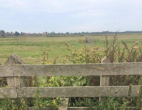

Purmerland Route (green)
The Purmerland Route (green) explores the Purmer en Ilperland to the green outskirts of the Purmerend Weidevenne district. The route has panoramic views from the (Noordhollandsch) Kanaalweg and from the Ilpendam-Den Ilp trail. Dogs are prohibited.
12.3 km- (4)

Vurige Staart Route (blue)
The Vurige Staart Route (blue) heads out along the cycle path (Oudelandsdijkje) and back along the grassy dike of the Purmer. Along the way, the route offers great views of the large, sleek Purmer with its polder forest and the old De Vurige Staart polder with its narrow pastures. Dogs are
6.57 km- (5)