Vuurtoren

Routes from this starting point
-
Lighthouse Route (blue)
- 3.59km
-
Eierlandse Gat Circular Walk (red)
- 3.77km
kaart startpunt Vuurtoren (1021 kb)
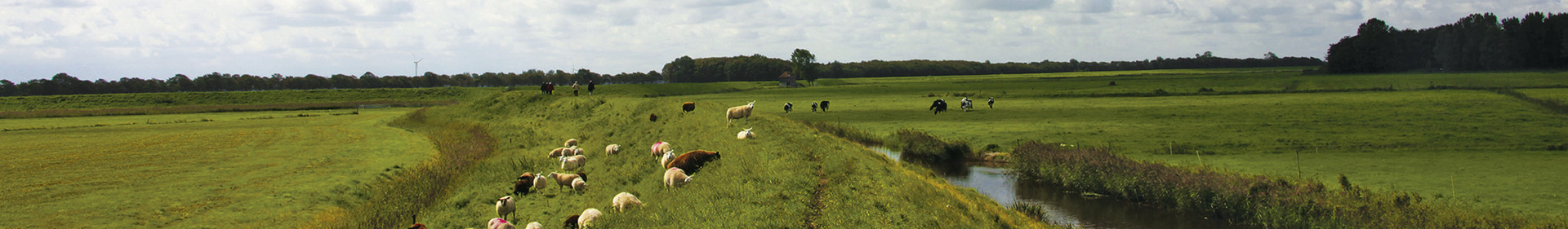
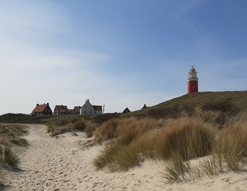
The northern tip of Texel is a spectacular area for walking. From the beach, you can see the island of Vlieland and the long De Hengst sandbar on the horizon. From west to east, the North Sea merges into the Wadden Sea via the Eierlandse Gat sea channel. The beach along the North Sea is extremely wide and narrows towards the Wadden Sea. Many ships have sunk in the Eierlandse Gat over the centuries and the channel was known as one of the country’s most dangerous until the 19th century. The striking, bright red lighthouse was not built until 1864. Prior to that, only a wooden beacon known as a ‘steng’ stood here.
- The Lighthouse Route (blue) runs through the Eierlandse Dunes and over a wide beach to the lighthouse. The fields along the path are called the Tuintjes (gardens) because they used to be the gardens of the lighthouse keepers. Just before the transition from dune to beach, you pass an observation point with great views. During the breeding season, part of the beach is cordoned off to give beach-nesting birds such as the common ringed plover some peace and quiet. You can easily walk around it but please keep your dog on a leash.
- The Eierlandse Gat Circular Walk (red) is an elongated loop. The seaward side of the loop is a narrow and popular stretch of beach towards the jetty of the Wadden ferry 'De Vriendschap'. With a bit of luck, you might see a seal sticking its head out of the water. The landward side runs along the base of the dunes, where numerous water birds rest and forage in the dune ponds.