Turfveld

Routes from this starting point
-
De Dennen Route (purple)
- 3.85km
-
Westerduin Route (black)
- 5.6km
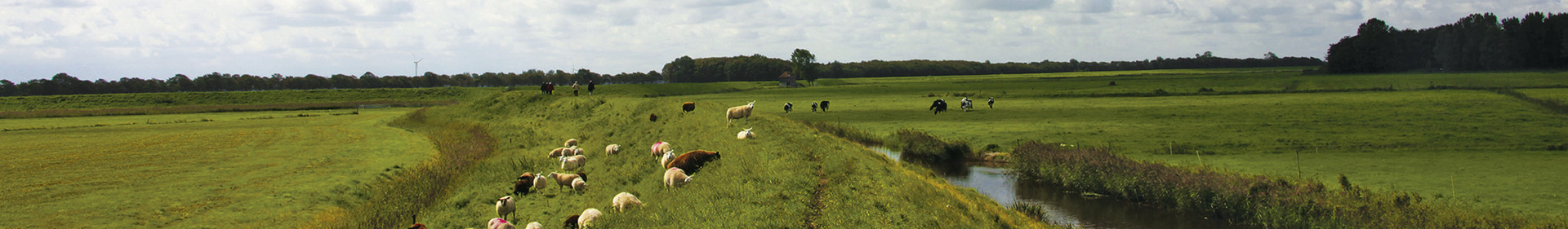
The Kampeersnol and the Fonteinsnol are two prominent dune formations known as 'nollen' that characterise the changing landscape around the Turfveld. Early last century, the first campers pitched their tents in the dunes near the Kampeersnol, now the border of the Westerduinen. This narrow area of dunes, which was intertwined at the edges with the wet heath and grasslands of the Mientgronden, reached as far as the Fonteinsnol until around 1900. The land reclamation and afforestation that followed dried out the area and the spring at Fonteinsnol. To help the young pines thrive, they were given peat soaked in water, a method from which the Turfveld (peat field) got its name. Meanwhile, 'De Dennen' has developed into a mixed forest and the old dune topography still provides fun and interesting paths.
- On the De Dennen Route (purple) you dive into the shelter of the green surroundings. The path winds between tall trunks up to the observation tower on the Fonteinsnol. Stately pines dominate the forest, until the path leads you into a beech forest with pretty dappled sunlight.
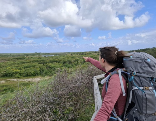
- The Westerduin Route (black) is a circular route via the dune edge and the wide beach. The shell path winds through undulating dunes and valleys with burnet roses, a gull colony and, if you’re lucky, you could even spot a hen harrier. Those who climb the Kampeersnol at the end will be rewarded with a panoramic view of the Westerduinen.