Starting point Ilpendam

Routes from this starting point
-
Ilpenstein Route (yellow)
- 3.99km
-
Vurige Staart Route (blue)
- 6.57km
-
Purmerland Route (green)
- 12.3km
Themed routes from this starting point
-
Waterrijk Waterland en Twiske
- 26.07km
Kaart Startpunt Ilpendam 2024 (3253 kb)
The dam built here in the peat river De Ilp in the 12th century was supposed to protect the hinterland to the west from the encroaching water coming from Purmermeer lake to the east. A village of farmers and fishermen grew around this dam but the fishing stopped after the lake was drained in 1622. Despite increasingly better links to the outside world from the 1660s onwards - including a tow canal, the Noordhollandsch Kanaal, the Waterlandse tramway and the provincial road - Ilpendam remained primarily a farming village until the flow of commuters got well underway after the war.
- The Ilpenstein Route (yellow) is a circular walk along the Purmerringdijk around the spot on the Hofweg where Ilpenstein Castle (1622-1872) used to stand, near the farm of the same name. With its towers and moat, it looked like a proper medieval castle.
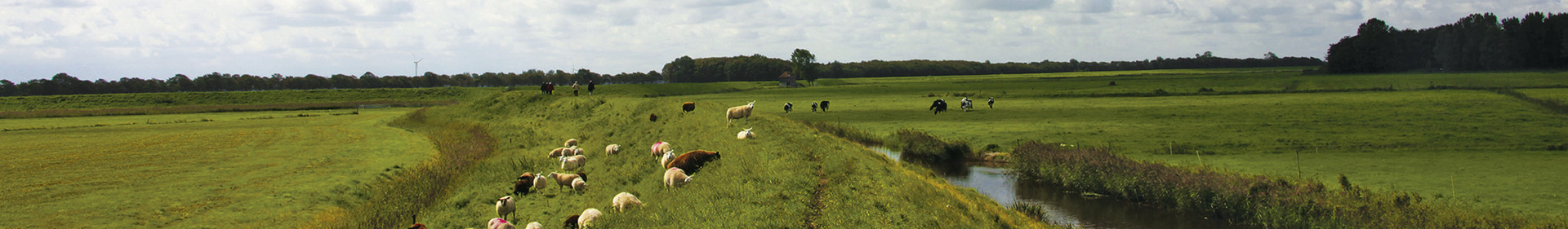
- The Vurige Staart Route (blue) heads out along the cycle path (Oudelandsdijkje) and back along the grassy dike of the Purmer. Along the way, the route offers great views of the large, sleek Purmer with its polder forest and the old De Vurige Staart polder with its narrow pastures. Dogs are prohibited.
- The Purmerland Route (green) explores the Purmer en Ilperland to the green outskirts of the Purmerend Weidevenne district. The route has panoramic views from the (Noordhollandsch) Kanaalweg and from the Ilpendam-Den Ilp trail. Dogs are prohibited.