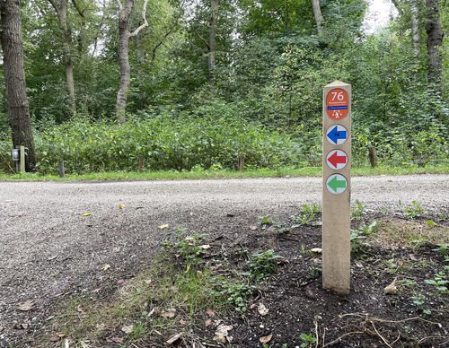
Rondje Golfbaan (red)
Rate this route
The Rondje Golfbaan (red) follows Genieweg behind the defensive wall of the Stelling van Amsterdam. Troops used to be moved behind this guarded public road. To the south of the fort lies a battery dug into the dike where the lighter artillery was positioned. No dogs allowed.
-
To add this route in the app: scan the QR code from within the app. or enter the route number 208863 in.
- 4.62 km
-
 Closed route
-
 Soon-to-be closed route
-
 Reports
-
 Hike point
-
 Starting point
-
 One-way path
Scroll the table below horizontally to see more
| From | To | Segment length | Marking(s) | Characteristics | Reports |
|---|---|---|---|---|---|
|
Starting point fort veldhuis-aagtendijk |
0.26 km |
|
|
|
|
| 0.98 km |
|
|
|
||
| 0.14 km |
|
|
|
||
| 1.25 km |
|
|
|
||
| 0.95 km |
|
|
|
||
| 0.07 km |
|
|
|
||
|
Starting point fort veldhuis-aagtendijk |
0.97 km |
|
|
|


