
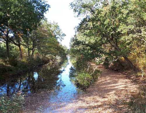
Dijkgatsweide Route (red)
Great
2 Ratings
Rate this route
Follow the red arrows of the Dijkgatsweide Route from the Robbenoordbos starting point to explore this distinctive nature area in the Kop van Noord-Holland, beside the Afsluitdijk. Roe deer and birds can often be spotted from the viewing tower overlooking the Dijkgatsweide.
The Dijkgatsweide was once pasture. In 2008 it was transformed into a water-rich bird habitat, home to many species of geese and waders. The route is waymarked in both directions with red arrows.
Be on the alert for ticks! Check yourself carefully during and after the walk.
-
 To add this route in the app: scan the QR code from within the app. or enter the route number 56361 in.
 - 5.98 km
-
 Closed route
-
 Soon-to-be closed route
-
 Reports
-
 Hike point
-
 Starting point
-
 One-way path
Scroll the table below horizontally to see more

| From | To | Segment length | Marking(s) | Characteristics | Reports |
|---|---|---|---|---|---|
|
Starting point robbenoordbos |
0.15 km |
|
|
||
| 2 km |
|
|
|||
| 1.05 km |
|
|
|||
| 0.81 km |
|
|
|||
| 0.29 km |
|
|
|||
| 0.12 km |
|
|
|||
| 0.29 km |
|
|
|||
| 0.6 km |
|
|
|||
|
Starting point robbenoordbos |
0.63 km |
|
|