
Search results
Characteristics
Quick search
489 results
Region
Length
Characteristics


Blue route from starting point Groote Keeten
The blue route runs through the beach and along the Callasande nature path to the Venne, restored to wet conditions in 1997 by Landschap Noord-Holland.
5.13 km- (7)

Oudesluis Walk (orange)
The Oudesluis Walk (orange) shares the red route, then turns left at the so-called Bosmanmill back towards the village.
1.97 km- (1)

Kolck Route (blue)
The Kolck Route (blue) follows the grassy embankment around ’t Zijper Eilant: an island circuit, in other words.
1.69 km- (0)

Water Storage Route (red)
The Water Storage Route (red) heads south through the water-storage area, passing kissing gates and stiles with views of bird-rich waters.
3.86 km- (1)

Red route from starting point Schagerbrug
The red route follows the green route for part of the way, then returns past the former town hall on the Schagerweg (partly still the Zijper Museum).
2.22 km- (1)

Green route from starting point Schagerbrug
The green route crosses the Groote Sloot on the old tram bridge, passes the former tram station at Schagerbrug (now a house, J.A. de Boerstraat 9), and continues into a new water storage area. It returns along an old West Frisian sea dyke.
3.24 km- (1)
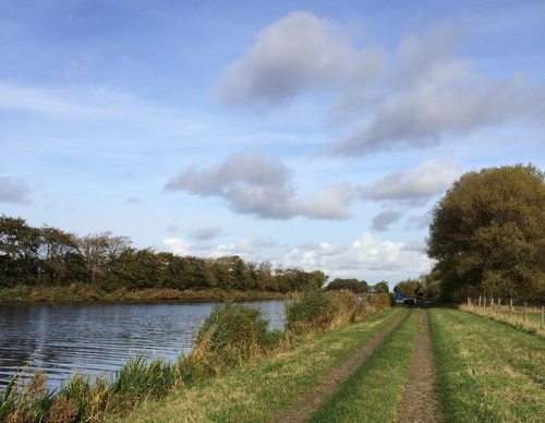

Blue route from starting point Schagerbrug
The blue route runs along the sheltered Ruigeweg to ’t Ananas, a traditional Dutch farmhouse built in the shape of a cheese cover, dating from 1900 in the small Ananas woodland. It then continues past the new pumping station on the Noordhollandsch Canal and along the former towpath to the
7.46 km- (9)
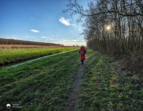

Black route from starting point Callantsoog
The black route extends the purple route and turns north at the Nollen van Abbestede, running along the Rechtendijk. At the end of the tarmac, it continues straight ahead across grassland to the Noordschinkeldijk and returns along the Jeweldijk. This route was the ‘Circular Walk of the Month’
8.99 km- (16)
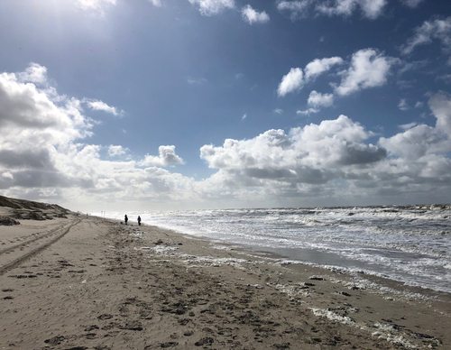

Purple route from starting point Sint Callantsoog
The purple route first runs along the beach, then continues into the Zandpolder, rich in saline seepage. It returns past the Venne, restored to wet conditions in 1997, the Nollen van Abbestede (managed by Landschap Noord-Holland), and the bulb-rich Jewelpolder.
6.54 km- (5)
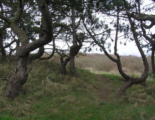

Red route from starting point Callantsoog
The red route runs through the Uitlandsche Polder, formerly known as Uytterlandt, passing low dune mounds and wet, low-nutrient grassland. Natuurmonumenten (Society for Nature Monuments) created this nature area in 2014. Cattle graze on the Uitlandsche Polder from June to September. The route then
6.3 km- (13)