
Search results
Characteristics
Quick search
489 results
Region
Length
Characteristics
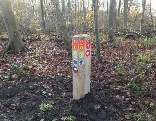

Hill Walk (yellow)
The Heuvelwandeling or Hill Walk (yellow) near Amstelveen takes you through both natural and park forest landscapes. Walk past playgrounds and paddling pools and climb the Heuvel. This is where children completed the construction of the forest on the tree planting day of 1970. The wheelbarrow on
5.6 km- (3)

Old Polder Walk (blue)
The Oude Polderwandeling or Old Polder Walk (blue) takes you through the old Dutch polder landscape between the Bosbaan lake and the Nieuwe Meer. You will walk along the Bosbaan, which is at a much lower level than the polder next to it. At its lowest point, the Amsterdamse Bos is 6.5 metres below
7.41 km- (2)

Old Polder Walk (blue)
The Oude Polderwandeling or Old Polder Walk (blue) in the Amsterdamse Bos takes you through the old Dutch polder landscape between the Bosbaan lake and the Nieuwe Meer. You will walk along the Bosbaan, which is on a much lower level than the polder next to it. At its lowest point, the Amsterdamse
6.12 km- (4)

Farm Walk (orange)
The Boerderijwandeling or Farm Walk (orange) near Amstelveen connects the two farms in the Amsterdamse Bos: the old Meerzicht farm and the new Ridammerhoeve farm, which has been run as a goat farm since 1988. The biodynamic farm is a fun place for young and old, where you can enjoy goat’s milk
3.94 km- (1)
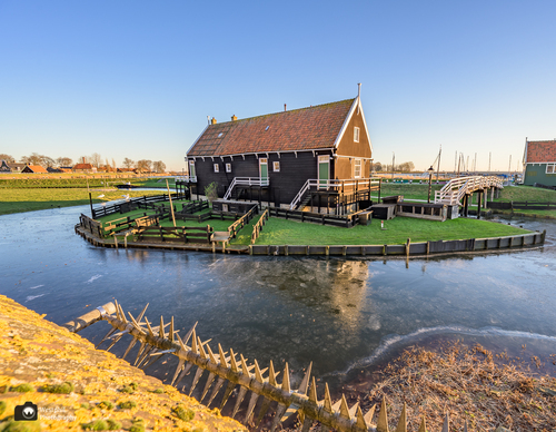

Tour of the Zuiderzee Museum (yellow) from starting point Enkhuizen Station
Also during the Rondje Zuiderzeemuseum (yellow) from starting point Enkhuizen station, you will walk over the city ramparts and past the Drommedaris and the Koepoort. Moreover, you will pass the picturesque houses of the Zuiderzee Museum where you can immerse yourself in Zuiderzee history. At
6.81 km- (4)
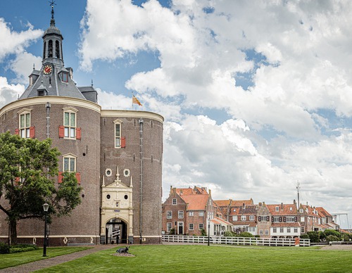

Drommedarisroute (blue)
The Drommedaris route (blue) takes you through historical Enkhuizen. You walk along the Oude Haven and the famous Drommedaris, a fortified tower from the 16th century. Beautiful features include the many Renaissance gables and the façade of the former orphanage on Westerstraat. The route also
5.21 km- (10)
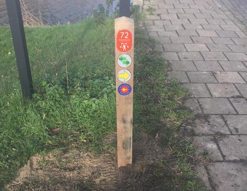

Bijlmerweideroute (green)
The Bijlmerweideroute (green) goes a step further and passes through the green edge of the Bijlmer, the Bijlmerweide. Then follow the Veeneikbrug bridge over the canal and end up in the Diemerbos park via roads along the banks. Return via the Penbos marshland, the Diem river and Diembrug bridge.
9.22 km- (1)

Campusroute (red)
The Campusroute (red) is a green walk through the student village of Diemen, the new Holland Park residential area and the northern edge of the Bijlmer. The return journey takes you along the Weespertrekvaart and the footpath underneath the railway embankment, from the Rustoord cemetery.
4.99 km- (3)

Diemen-Zuidroute (yellow)
The Diemen-Zuidroute (yellow) covers the northern part of new Diemen, via all kinds of shell-covered paths, green areas, pavements and sandy paths. There is also a lively part along the Weespertrekvaart and Diemerbrug. In short, it has a little of everything.
3.8 km- (3)
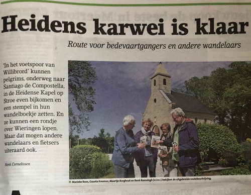

In the footsteps of Saint Willibrord
This attractive route for pilgrims and other walkers follows inspiringly in the footsteps of Willibrord across the former island of Wieringen. From the starting point in Den Oever, the route passes through Westerland, Hippolytushoef, Oosterland and several hamlets. Around the year 700, a small
26.9 km- (1)