
Search results
Characteristics
Quick search
489 results
Region
Length
Characteristics
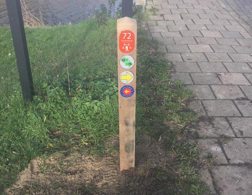

De Zwarte Kat Walk (blue)
The Rondje De Zwarte Kat or De Zwarte Kat Walk (blue) takes you along the Amstel via the towpath to the spot where the De Zwarte Kat pub stood until recently. The pub was a popular stop for many cyclists and walkers during the previous century. The walk continues via the Simon Colenvaartpad, which
4.35 km- (1)

Kruitmolenroute (red)
The Kruitmolenroute (red) is a stroll along charming polder paths through the Langs de Akker recreational area. You can wander through the meadows, but dogs are not allowed. The Kruitmolen lane leads to a historic site where a gunpowder mill exploded in 1782. Soon afterwards, a new powder factory
2.98 km- (0)
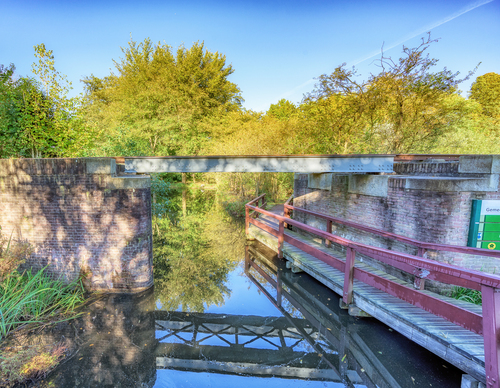

Museum Tram Path (blue)
The Museum Tram Path (blue) follows the footpaths in the public gardens on either side of the track as closely as possible. The walk takes you through De Braak and the Jac. P. Thijssepark - which will treat you to stunningly beautiful flowers in spring - and around the Amsterdamse Bos, the
9.06 km- (7)

Poel Walk (green)
The Poel Walk (green) is lovely in every season but especially lush during the summer. You can admire rare plants here, such as the southern marsh orchid and the carnivorous sundew. Highlights along the route include the steeple of the St. Urbanus Church in Bovenkerk and of course the Bloesempark.
5.62 km- (0)

Bovenkerker Polder Route (green)
The Bovenkerker Polder Route (green) crosses the deep polder via two farmland paths. These two grass paths more than make up for the unpleasant cycle path along the Bovenkerkerweg. The name of the cable ferry at the Middenweg, called Maria Johanna Petronella, has a romantic origin. Once upon a
9.78 km- (3)


Vuurlijn Path (yellow)
The Vuurlijn Path (yellow) is a hefty circular walk from the Westeinderplassen lakes via the Vuurlijn. This earthen dike was part of the Defence Line of Amsterdam, the ring of fortifications around the capital. The dike was located behind the fortresses at Kudelstaart and De Kwakel and is currently
17.93 km- (1)


Rijsenhout Walk (blue)
The Rijsenhout Walk (blue) follows the mining trail through the district on the Uiterweg. You take the ferry to the Haarlemmermeer and walk to the Fort at Aalsmeer, with the CRASH Air War and Resistance Museum '40-'45. The last part takes you through the green borders of the Schiphol Logistics
7.68 km- (4)

Schinkelpolder Tour (orange)
The Schinkelpoldertocht or Schinkelpolder Tour (orange) takes you in a northern direction. The long circular walk gives a good idea of the horticulture near Aalsmeer and the new districts of the Legmeer. You will walk past the De Zwarte Ruiter windmill and through the Schinkelbos park and along the
13.29 km- (2)