
Search results
Characteristics
Quick search
489 results
Region
Length
Characteristics
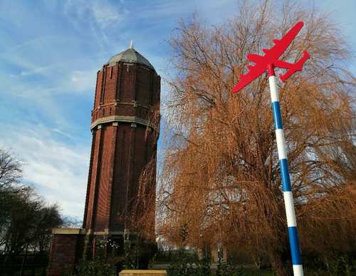

North-West Dyke Route (purple)
The North-West Dyke Route (purple) partly follows the yellow route, then enters Wieringerwaard.
9.66 km- (0)


Kneeskade Route (yellow)
The Kneeskade Route (yellow) follows the green North-West Dyke from Wieringerwaard to the lock settlement of Anna Paulowna.
9.64 km- (1)
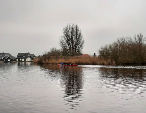

Amstel Dyke Route (red)
The Amsteldijkroute or Amstel Dyke Route (red) runs right through Uithoorn to the Zijdelmeer lake, where orchids grow in the reed beds on the banks. Via the Libellebos park, where Scottish highland cattle graze, it heads to the new water storage areas on the Hollandsedijk and then back along the
9.13 km- (4)
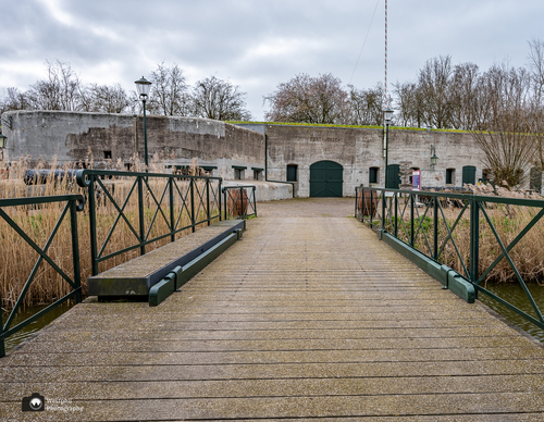

Forts Path (blue)
The Fortenpad or Forts Path (blue) runs first along the banks of the Amstel-Drechtkanaal to Vrouwenakker. The route then passes the Fort bij De Kwakel, which was completed in 1897. Of note is the Vuurlijn, a grass dike that was also part of the line of defence. There used to be several batteries
8.02 km- (4)
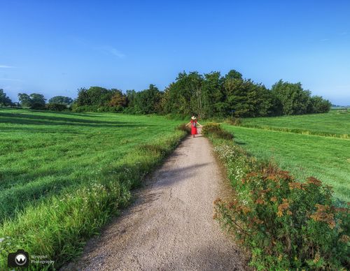

Cross Road Route (purple)
The name Kruiswegroute or Cross Road Route (purple) references the historical name and shape of the reclaimed land. From the village you walk via the towpath along the Amstel to the shell-covered path along the Nesserlaan. There is plenty to enjoy on the straight-as-an-arrow Middenweg.
6.81 km- (0)
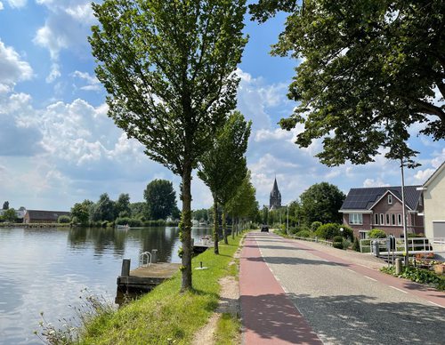

Mill Network Route (red)
The Molengangroute or Mill Network Route (red) passes through the polderland north of the village. Via the ring dike you walk to where three mill networks used to drain onto the higher grounds. One mill stump has been preserved from the mill complex. Please note that dogs are not allowed and the
6.26 km- (0)
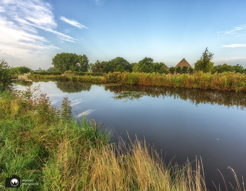

Dutch Dike Route (blue)
The Hollandse Dijkroute or Dutch Dike Route (blue) is a walk along the towpath on the Amstel, past the ferry at Nessersluis to the Hollandse Dijk in Uithoorn. From the Middenweg you can take two walks along new paths through the farmland.
8.33 km- (1)
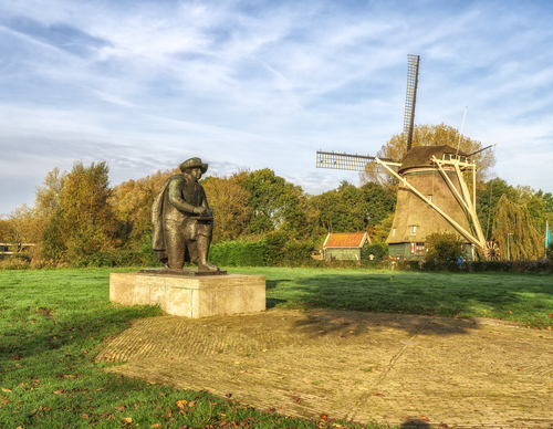

Riekermolen Route (green)
The Riekermolen Route (green) links Amsterdamse Bos and Amstelpark with the much-photographed Riekermolen on the Amstel. Follow the green corridors along Kalfjeslaan and Gijsbrecht van Aemstelpark. Alternative routes are available where dogs are not permitted. Photo: Westphil Photography
8.66 km- (1)
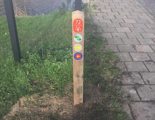

Number 14 Route (purple)
The Route Nummer 14 or Number 14 Route (purple) is named after the jersey number of the famous footballer Johan Cruijff. The route travels through Betondorp, where he learnt to play football on the street in the 1950s. Unfortunately, the old Ajax stadium De Meer on the Middenweg no longer exists.
10.01 km- (3)
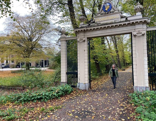

Watergraafsmeerroute (green)
The Watergraafsmeerroute (green) passes several well-known places in the district such as the Oosterbegraafplaats cemetery, the Middenweg and the Frankendael Park. The area has many characteristic 1930s houses and remains a lively, popular residential area. It is a lovely walk on the dike along the
8.08 km- (5)