
Watergraafsmeerroute (green)
Good
5 Ratings
Rate this route
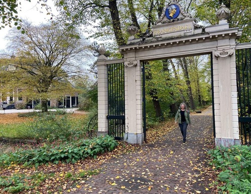
The Watergraafsmeerroute (green) passes several well-known places in the district such as the Oosterbegraafplaats cemetery, the Middenweg and the Frankendael Park. The area has many characteristic 1930s houses and remains a lively, popular residential area. It is a lovely walk on the dike along the ring canal, which still borders the polder. The route also goes through the small but popular Flevopark on the edge of the Indische Buurt district.
Photo by Wandelvrouw (Instagram)
-
 To add this route in the app: scan the QR code from within the app. or enter the route number 132532 in.
 - 8.08 km
-
 Closed route
-
 Soon-to-be closed route
-
 Reports
-
 Hike point
-
 Starting point
-
 One-way path
Scroll the table below horizontally to see more

| From | To | Segment length | Marking(s) | Characteristics | Reports |
|---|---|---|---|---|---|
|
Science park station starting point |
1.3 km |
|
|
||
| 2.49 km |
|
|
|||
| 1.57 km |
|
|
|||
| 0.19 km |
|
|
|||
| 0.47 km |
|
|
|||
| 0.45 km |
|
|
|||
| 0.31 km |
|
|
|||
|
Science park station starting point |
1.31 km |
|
|