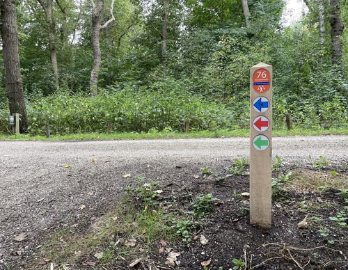
Trambaan Route (red)
Unpaved path (partly)
Good
1 Ratings
Rate this route
The Trambaan Route (red) runs partly along the route of the former Haarlem–Leiden tramline and the ponds of the bird-rich Bennebroekbos, once the park of Huis te Bennebroek. Along the way is a beautiful view of the 17th-century Reformed Church. In the village, you walk along the old road on the border of embankment and peat bog (Schoollaan). If you look closely, you can see long-eared owls roosting in a tree.
-
To add this route in the app: scan the QR code from within the app. or enter the route number 190278 in.
- 3.61 km
-
 Closed route
-
 Soon-to-be closed route
-
 Reports
-
 Hike point
-
 Starting point
-
 One-way path
Scroll the table below horizontally to see more
| From | To | Segment length | Marking(s) | Characteristics | Reports |
|---|---|---|---|---|---|
|
Starting point bennebroek (tourist transfer point) |
0.08 km |
|
|
|
|
| 0.59 km |
|
|
|
||
| 1.44 km |
|
|
|
||
| 0.42 km |
|
|
|
||
| 0.36 km |
|
|
|
||
| 0.64 km |
|
|
|
||
|
Starting point bennebroek (tourist transfer point) |
0.08 km |
|
|
|


