Starting Point Fort Kijkduin

Routes from this starting point
-
Grafelijkheidsduinenroute (red)
- 8.72km
-
Napoleon Route (orange)
- 11.22km
-
Fort Kijkduinroute (paars)
- 7.46km
The seaside resort of Huisduinen lies on the Marsdiep, the sea channel between Den Helder and Texel. Before the construction of the Zanddijk to Groote Keeten in 1612, Huisduinen – then known as ‘Husiduna’ – was a Wadden island. Fishermen and farmers were already living here in the early Middle Ages. The village had to be relocated several times further east due to the advancing waters of the Marsdiep. Around 1300, it lay almost nine kilometres further west.
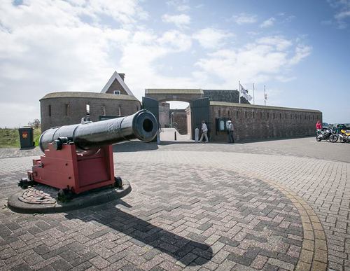
Fort Kijkduin
Along with the beach, dunes and nature, Huisduinen is best known for Fort Kijkduin. Dating from 1811, the fort forms part of the Stelling Den Helder, a defensive line built under Napoleon. It now houses a museum presenting its history as a fort. The fort also includes an aquarium, where a twelve-metre tunnel allows visitors to walk beneath the water and experience the North Sea at close quarters. A visit to Fort Kijkduin makes a worthwhile addition to the walk. See the Fort Kijkduin website for current opening times and admission prices.
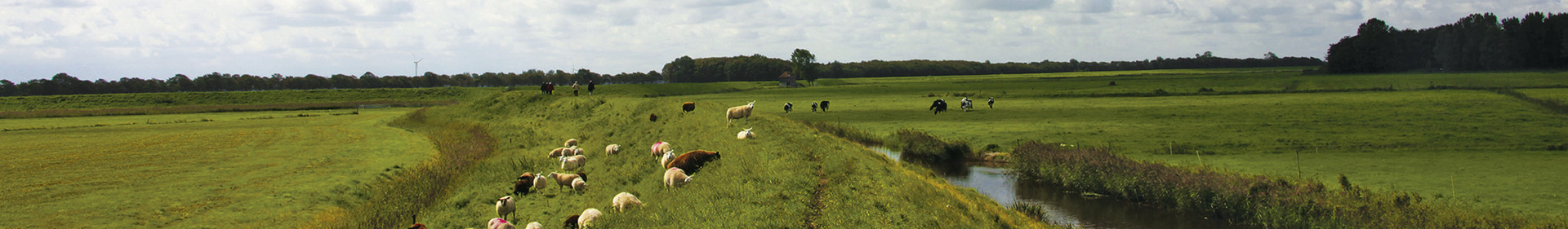
- The red Grafelijkheidsduinen Route runs along the foredunes to De Helderse Vallei and the Mariëndal nature area, then continues through the Donkere Duinen and the Grafelijkheidsduinen. The route is waymarked in both directions with red arrows.
- The orange Napoleon Route partly follows the purple Route but also includes Fort Dirksz Admiraal. The route is waymarked in the field with orange arrows.
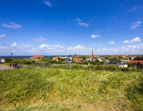
- The purple Fort Kijkduin Route runs along the sea dyke past the red lighthouse Lange Jaap (1878) to Fort Erfprins with its green ravelins and also passes the Liniedijk. The route is waymarked in both directions with purple arrows. This route was the circular walk of the month in December 2020. Read the report here.