
Westfriesedijkroute (yellow)
Good
3 Ratings
Rate this route
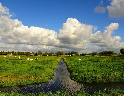
The yellow Westfriesedijk Route extends the Barsingerhorn Route, continuing to the Westfriese Omringdijk (c. 1200–1250), which made it possible to reclaim the mudflats here (Kaagpolder). It also passes through Kolhorn, formerly a fishing harbour on the Zuiderzee. The route is waymarked in both directions with yellow arrows.
-
 To add this route in the app: scan the QR code from within the app. or enter the route number 50825 in.
 - 15.06 km
-
 Closed route
-
 Soon-to-be closed route
-
 Reports
-
 Hike point
-
 Starting point
-
 One-way path
Scroll the table below horizontally to see more

| From | To | Segment length | Marking(s) | Characteristics | Reports |
|---|---|---|---|---|---|
|
Starting point barsingerhorn |
1.37 km |
|
|
||
| 1.37 km |
|
|
|||
| 2.24 km |
|
|
|||
| 2.15 km |
|
|
|||
| 3.07 km |
|
|
|||
| 0.75 km |
|
|
|||
| 1.11 km |
|
|
|||
|
Starting point barsingerhorn |
2.88 km |
|
|