
Westerklief Route (yellow)
Good
12 Ratings
Rate this route
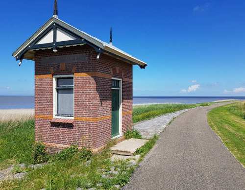
The Westerklief Route (yellow) initially follows the Dam Route and then crosses to the hamlet of Westerklief. Considering the silver treasures excavated there, this appears to have been a favourite spot of Vikings in around 850-900. You also walk along a stretch of old seaweed dike (the Hoelmerdijk) and through the dike village of De Haukes.
The name Westerklief dates back to a time when Wieringen was an island. At that time, it was one of the highest points on the island. People settled here to protect themselves from the sea. The waves crashing against the boulders created a kind of cliff. Westerklief is named after these cliffs. While most of the cliffs have disappeared due to land cultivation, some remains can still be seen on the Wieringerrandkanaal behind the hamlets.
In 1996, hobbyists searching the area with metal detectors found a Viking treasure containing silver jewellery and coins. This treasure, known as the 'Viking Treasure of Westerklief', can now be admired in the Dutch National Museum of Antiquities in Leiden.
-
 To add this route in the app: scan the QR code from within the app. or enter the route number 56394 in.
 - 9.69 km
-
 Closed route
-
 Soon-to-be closed route
-
 Reports
-
 Hike point
-
 Starting point
-
 One-way path

| From | To | Segment length | Marking(s) | Characteristics | Reports |
|---|---|---|---|---|---|
|
Starting point westerland |
0.93 km |
|
|
||
| 1.51 km |
|
|
|||
| 1.33 km |
|
|
|||
| 1.13 km |
|
|
|||
| 0.15 km |
|
|
|||
| 1.18 km |
|
|
|||
| 0.29 km |
|
|
|||
| 0.2 km |
|
|
|||
| 1.18 km |
|
|
|||
|
Starting point de haukes |
0.13 km |
|
|
||
|
Starting point de haukes |
0.13 km |
|
|
||
| 0.34 km |
|
|
|||
| 0.56 km |
|
|
|||
|
Starting point westerland |
0.75 km |
|
|