
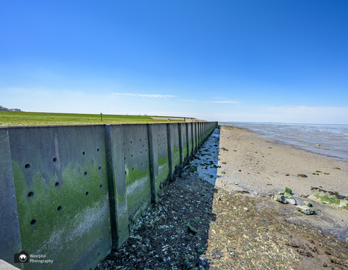
Vatrop Route (purple)
Good
3 Ratings
Rate this route
The purple Vatrop Route runs up the undulating Bierdijkerveldweg to the hamlet of Vatrop, a name that invites curiosity. It lies at 6.6 metres above sea level, with views nearby over the Kleiput, a true haven for birds. The route is waymarked in both directions with purple arrows.
-
 To add this route in the app: scan the QR code from within the app. or enter the route number 56367 in.
 - 4.89 km
-
 Closed route
-
 Soon-to-be closed route
-
 Reports
-
 Hike point
-
 Starting point
-
 One-way path
Scroll the table below horizontally to see more

| From | To | Segment length | Marking(s) | Characteristics | Reports |
|---|---|---|---|---|---|
|
Starting point stroe |
0.69 km |
|
|
||
| 0.17 km |
|
|
|||
| 0.53 km |
|
|
|||
| 1.11 km |
|
|
|||
| 1.03 km |
|
|
|||
| 0.18 km |
|
|
|||
| 0.99 km |
|
|
|||
|
Starting point stroe |
0.19 km |
|
|