
Napoleon Route (orange)
Good
5 Ratings
Rate this route
Dogs are allowed to be off-leash in certain parts of this route. Specific areas are indicated by signage from the municipality or land manager. Always follow the rules at the location and clean up after your dog.
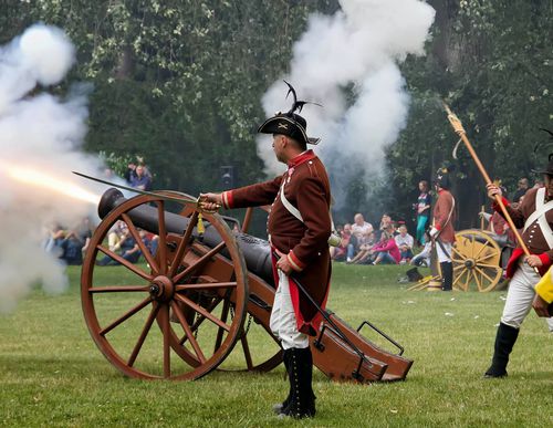
The Napoleon Route (orange) in Den Helder partly follows the purple Route but also includes Fort Dirksz Admiraal, built for Napoleon between 1811 and 1813. The route is waymarked in the field with orange arrows.
Napoleon Bonaparte wanted to establish a naval harbour in the northern Netherlands. In 1811 he visited Den Helder and, because of its strategic location, ordered the construction of the Willemsoord shipyard and maintenance dock. The original layout of Willemsoord, designed by Jan Blanken Janszoon, remains clearly recognisable today in the many historical buildings around the central dock.
Stelling Den Helder is also Jan Blanken Janszoon’s work. This defensive system was built to defend the naval fleet against attacks from both land and sea. It consists of an extensive defensive line of forts, coastal defences and a connecting dyke between the forts. Between 1811 and 1813, four existing forts were strengthened: Fort Kijkduin, Fort Erfprins, Fort Oostoever and Fort Dirksz Admiraal.
In 1825, the line dykes were constructed on the orders of King William I, giving the defence line its final form. These line dykes made inundation possible – the deliberate flooding of land to keep the enemy at a distance. Around the same time, the Noordhollandsch Canal was constructed. To defend the canal, a new fort was built on the western side: Fort Westoever.
Numerous structures from the Napoleonic period stand along the route, together with later Dutch defensive works
and German bunkers from the Second World War. Den Helder formed an important part of the Atlantic Wall, the largest defensive line ever built in Western Europe. German forces constructed more than 300 bunkers here, many of which can still be seen in the defence line area.
-
 To add this route in the app: scan the QR code from within the app. or enter the route number 55895 in.
 - 11.22 km
-
 Closed route
-
 Soon-to-be closed route
-
 Reports
-
 Hike point
-
 Starting point
-
 One-way path

| From | To | Segment length | Marking(s) | Characteristics | Reports |
|---|---|---|---|---|---|
|
Starting point fort kijkduin |
0.31 km |
|
|
||
| 1.55 km |
|
|
|||
| 1.91 km |
|
|
|||
| 1.05 km |
|
|
|||
| 1.74 km |
|
|
|||
| 1.62 km |
|
|
|||
|
Startpunt liniedijk |
0.3 km |
|
|
||
|
Startpunt liniedijk |
2.37 km |
|
|
||
| 0.36 km |
|
|
|||
|
Starting point fort kijkduin |
0.2 km |
|
|