Langereisroute (blauw)
Unpaved path (partly)
No dogs allowed
Closed during bird breeding season
Good
1 Ratings
Rate this route
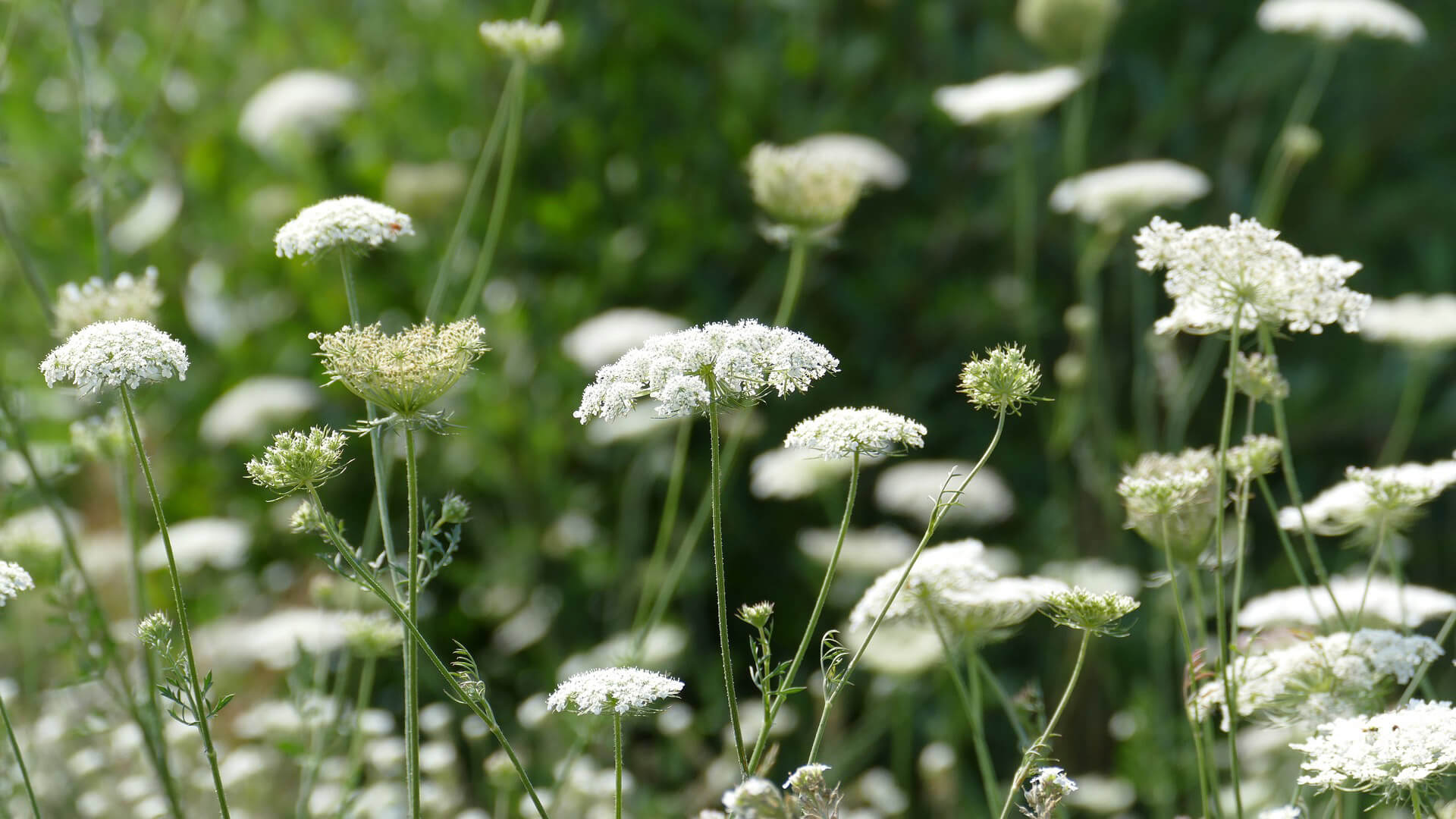
De Langereisroute (blauw) vanaf Top Hoogwoud loopt door de dorpen Aartswoud, Hoogwoud, Gouw en de Weere en over een aantal rustige polderwegen. Het is een variant op de gele route. De extra ‘lus’ van de blauwe route loopt door de waterberging Groene Pade en over de kade van het kanaal de Langereis. De Langereisroute is bereikbaar vanaf de keuzepunten 41 en 43.
-
To add this route in the app: scan the QR code from within the app. or enter the route number 107985 in.
- 17.28 km
-
 Closed route
-
 Soon-to-be closed route
-
 Reports
-
 Hike point
-
 Starting point
-
 One-way path
Scroll the table below horizontally to see more
| From | To | Segment length | Marking(s) | Characteristics | Reports |
|---|---|---|---|---|---|
|
Startpunt hoogwoud (toeristisch overstappunt) |
0.66 km |
|
|
|
|
| 0.09 km |
|
|
|
||
| 2.13 km |
|
|
|
||
| 3.18 km |
|
|
|
||
| 0.77 km |
|
|
|
||
|
Startpunt aartswoud |
1.54 km |
|
|
|
|
|
Startpunt aartswoud |
0.54 km |
|
|
|
|
| 2.42 km |
|
|
|
||
| 1.22 km |
|
|
|
||
| 2.38 km |
|
|
|
||
| 1.65 km |
|
|
|
||
| 0.05 km |
|
|
|
||
|
Startpunt hoogwoud (toeristisch overstappunt) |
0.81 km |
|
|
|


