
Houthavenroute (paars)
Good
2 Ratings
Rate this route
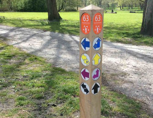
De Houthavenroute (paars) is een langere ronde door Amsterdam-Noord die de oevers van het IJ verbindt. U ziet het imposante Pontsteigergebouw, de Oude Houthaven en het IJ-dock. Aan de noordzijde wandelt u langs het Noordhollands Kanaal en het dijkdorpje Buiksloot. De route start vanaf Molenwijk.
-
 To add this route in the app: scan the QR code from within the app. or enter the route number 154783 in.
 - 13.11 km
-
 Closed route
-
 Soon-to-be closed route
-
 Reports
-
 Hike point
-
 Starting point
-
 One-way path
Scroll the table below horizontally to see more

| From | To | Segment length | Marking(s) | Characteristics | Reports |
|---|---|---|---|---|---|
|
Startpunt molenwijk |
0.09 km |
|
|
||
| 0.33 km |
|
|
|||
| 1.62 km |
|
|
|||
| 1.72 km |
|
|
|||
| 0.48 km |
|
|
|||
| 0.29 km |
|
|
|||
| 0.33 km |
|
|
|||
|
Startpunt metro noorderpark |
0.25 km |
|
|
||
|
Startpunt metro noorderpark |
0.1 km |
|
|
||
| 1.41 km |
|
|
|||
|
Startpunt overhoeks |
0.18 km |
|
|
||
|
Startpunt overhoeks |
0.35 km |
|
|
||
| 4.75 km |
|
|
|||
| 0.84 km |
|
|
|||
| 0.12 km |
|
|
|||
| 0.33 km |
|
|
|||
|
Startpunt molenwijk |
0.09 km |
|
|