
Groetpolder Route (orange)
Rate this route
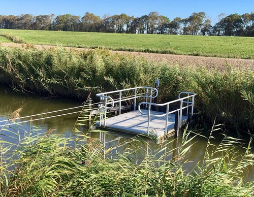
The Groetpolder Route crosses the Westfriese Omringdijk (1200–1250) and enters the Groeterpolder (1847). Farm tracks lead to the grass dyke along the Groeterkanaal. The route then continues along grass dykes beside the Kromme Gouw and the Alkmaar-Kolhorn Canal.
The route is waymarked in both directions with orange arrows. For the protection of breeding meadow birds, part of the route is not accessible between 15 March and 20 June. During this period, the route runs between markers 59 and 62, with a short section at marker 63 marked in purple.
Note: The grass dykes on the route can be difficult to walk because they are mown only twice a year. Just before mowing, the grass can be very high. Mowing takes place between 1 June and mid-July and between 1 September and 10 October, to minimise disturbance to nature.
-
 To add this route in the app: scan the QR code from within the app. or enter the route number 46706 in.
 - 15.02 km
-
 Closed route
-
 Soon-to-be closed route
-
 Reports
-
 Hike point
-
 Starting point
-
 One-way path

| From | To | Segment length | Marking(s) | Characteristics | Reports |
|---|---|---|---|---|---|
|
Starting point winkel |
1.26 km |
|
|
||
| 1.97 km |
|
|
|||
| 3.19 km |
|
|
|||
| 0.2 km |
|
|
|||
| 0.27 km |
|
|
|||
|
Starting point kolhorn |
0.09 km |
|
|
||
|
Starting point kolhorn |
0.66 km |
|
|
||
| 3.6 km |
|
|
|||
|
Starting point winkel |
3.79 km |
|
|