
Dam Route (blue)
Average
2 Ratings
Rate this route
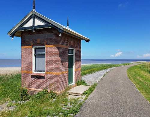
The Dam Route (blue) passes the hamlet of Dam, named after the Korte Afsluitdijk that was built from the mainland to Wieringen in 1924. Via a stretch of Wadden dike (Normerdijk), you come to a curious cross-section of a boulder clay mound: a remnant of the never-completed Zuiderzee railway line to Harlingen (1931).
-
 To add this route in the app: scan the QR code from within the app. or enter the route number 56393 in.
 - 5.86 km
-
 Closed route
-
 Soon-to-be closed route
-
 Reports
-
 Hike point
-
 Starting point
-
 One-way path
Scroll the table below horizontally to see more

| From | To | Segment length | Marking(s) | Characteristics | Reports |
|---|---|---|---|---|---|
|
Starting point westerland |
0.93 km |
|
|
||
| 1.51 km |
|
|
|||
| 1.23 km |
|
|
|||
| 0.15 km |
|
|
|||
| 1.28 km |
|
|
|||
|
Starting point westerland |
0.75 km |
|
|