
Wijkermeer Walk (blue)
Average
5 Ratings
Rate this route
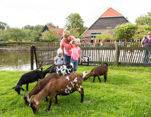
Dogs are allowed to be off-leash in certain parts of this route. Specific areas are indicated by signage from the municipality or land manager. Always follow the rules at the location and clean up after your dog.
The Wijkermeer Walk (blue) near Velsen-Zuid mainly travels over land that was drained barely 150 years ago. Before that time, the Zuiderzee reached far inland via the IJ and the Wijkermeer. Nowadays you have a view over the golf course (with restaurants). The green is then exchanged for the blue of Zijkanaal C, a branch of the North Sea Canal to Spaarndam.
-
 To add this route in the app: scan the QR code from within the app. or enter the route number 14778 in.
 - 6.35 km
-
 Closed route
-
 Soon-to-be closed route
-
 Reports
-
 Hike point
-
 Starting point
-
 One-way path

| From | To | Segment length | Marking(s) | Characteristics | Reports |
|---|---|---|---|---|---|
|
Starting point zorgvrij velsen (tourist transfer point) |
0.23 km |
|
|
||
| 1.11 km |
|
|
|||
| 1.61 km |
|
|
|||
| 1.11 km |
|
|
|||
| 1.86 km |
|
|
|||
| 0.32 km |
|
|
|||
|
Starting point zorgvrij velsen (tourist transfer point) |
0.09 km |
|
|