
Haringhuizerroute
Unpaved path (partly)
Good
4 Ratings
Rate this route
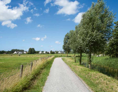
De Haringhuizerroute voert door de open zuidoostkant van de stad naar het sfeervolle lintdorpje Haringhuizen met zijn 15e-eeuwse kerkje, over de Muggenburgerweg en door de Slikvenpolder.
De route is gemarkeerd met groene pijlen.
-
 To add this route in the app: scan the QR code from within the app. or enter the route number 2174 in.
 - 8.41 km
-
 Closed route
-
 Soon-to-be closed route
-
 Reports
-
 Hike point
-
 Starting point
-
 One-way path
Scroll the table below horizontally to see more

| From | To | Segment length | Marking(s) | Characteristics | Reports |
|---|---|---|---|---|---|
|
Startpunt haringhuizen |
2.23 km |
|
|
|
|
| 1.82 km |
|
|
|
||
|
Startpunt station schagen |
0.57 km |
|
|
|
|
|
Startpunt station schagen |
0.09 km |
|
|
|
|
| 2.37 km |
|
|
|
||
| 0.06 km |
|
|
|
||
| 0.87 km |
|
|
|
||
|
Startpunt haringhuizen |
0.4 km |
|
|
|