
Wijdenesroute (rood)
Unpaved path (partly)
Good
1 Ratings
Rate this route
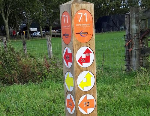
De Wijdenesroute (rood) voert u naar het vluchthaventje aan het Markermeer. Daarna loopt u langs het water oostwaarts tot aan de buurtschap Oosterleek waar rond het kerkje nog een aantal houten huisjes in ‘Zuiderzeestijl’ staat.
-
 To add this route in the app: scan the QR code from within the app. or enter the route number 102000 in.
 - 6.98 km
-
 Closed route
-
 Soon-to-be closed route
-
 Reports
-
 Hike point
-
 Starting point
-
 One-way path
Scroll the table below horizontally to see more

| From | To | Segment length | Marking(s) | Characteristics | Reports |
|---|---|---|---|---|---|
|
Startpunt wijdenes |
0.87 km |
|
|
|
|
| 2.3 km |
|
|
|
||
| 0.64 km |
|
|
|
||
| 0.95 km |
|
|
|
||
| 1.37 km |
|
|
|
||
|
Startpunt wijdenes |
1.21 km |
|
|
|