Starting point Westerland
Routes from this starting point
Wandelkaart starting point Westerland (1895 KB)
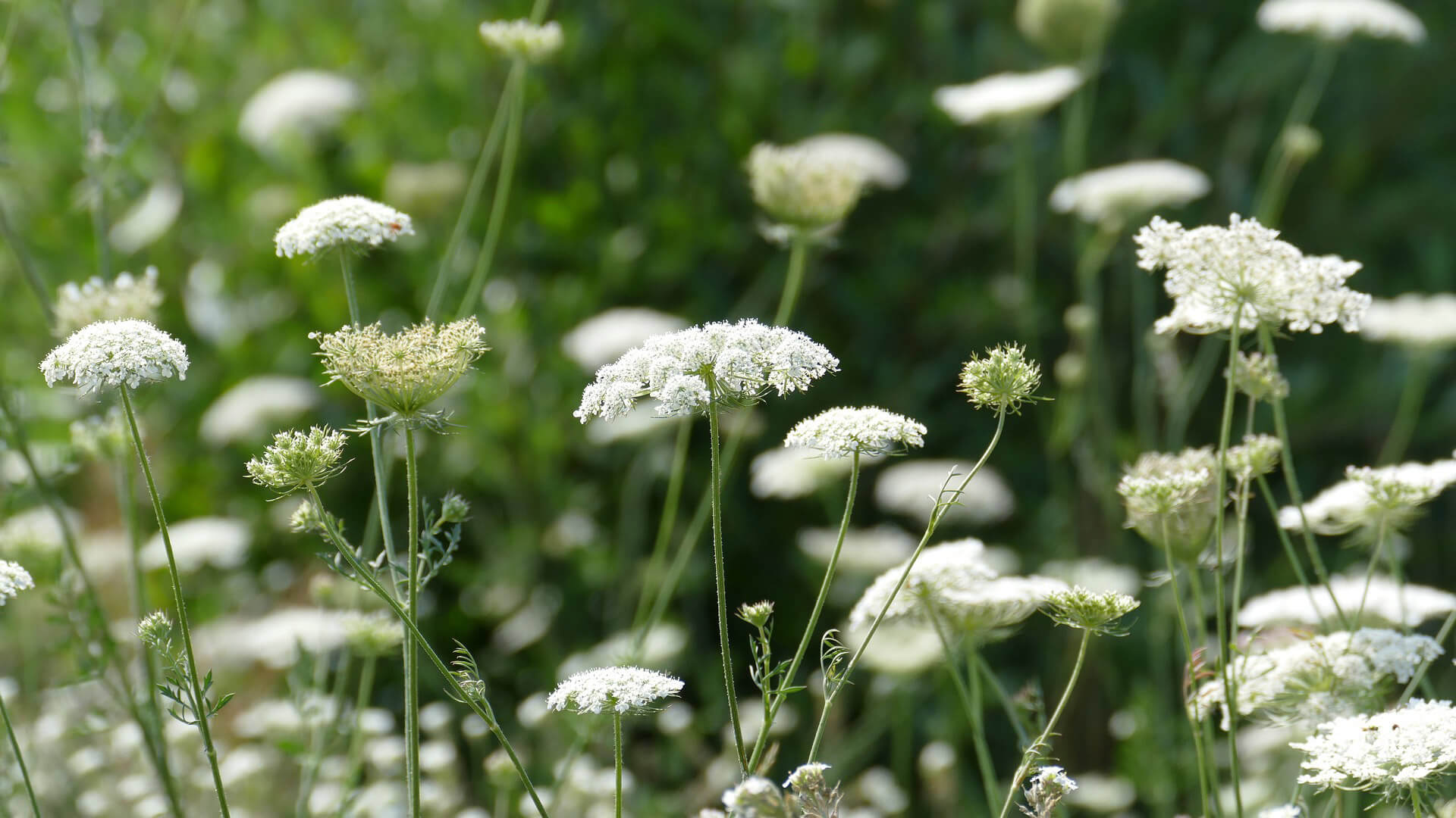
You can choose from three varied circular walks in and around Wieringen's gently undulating Westerland: over old weir and tidal dikes, past a harbour, a lake and a sea. Altogether, it’s an ode to Wieringen, which in the early Middle Ages consisted of a few ancient boulder clay hills surrounded by raised peat bog. After all the extraction, the peat increasingly collapsed and became waterlogged before disappearing into the waves. In around 1300, an island remained in the tidal flats on the edge of the Zuiderzee. Since 1924, Wieringen has been linked to the mainland by a dike and is the most accessible Wadden island.
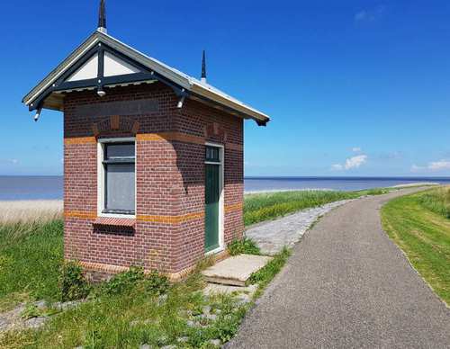
- The Mail Boat Route (red) passes beaches on the Amstelmeer lake, created after the Amsteldiep was closed off in 1924. Down along the Westerlanderdijk you walk to De Haukes, a charming dike village with an old harbour, where the mail boat (postboot) from the mainland used to dock.
- The Dam Route (blue) passes the hamlet of Dam, named after the Korte Afsluitdijk that was built from the mainland to Wieringen in 1924. Via a stretch of Wadden dike (Normerdijk), you come to a curious cross-section of a boulder clay mound: a remnant of the never-completed Zuiderzee railway line to Harlingen (1931).
- The Westerklief Route (yellow) initially follows the Dam Route and then crosses to the hamlet of Westerklief. Considering the silver treasures excavated there, this appears to have been a favourite spot of Vikings in around 850-900. You also walk along a stretch of old weir (the Hoelmerdijk) and through the dike village of De Haukes.
© OpenStreetMap contributors