
Robbenoordbosroute (geel)
Unpaved path (partly)
Average
4 Ratings
Rate this route
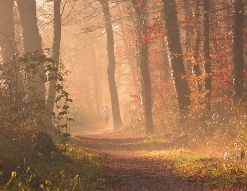
De Robbenoordbosroute (geel) verkent de noordoostkant van het bos bij Den Oever via smalle, onverharde paadjes diep in het bos en langs de waterkant.
De route is in twee richtingen gemarkeerd met gele pijlen.
-
 To add this route in the app: scan the QR code from within the app. or enter the route number 56362 in.
 - 5.64 km
-
 Closed route
-
 Soon-to-be closed route
-
 Reports
-
 Hike point
-
 Starting point
-
 One-way path
Scroll the table below horizontally to see more

| From | To | Segment length | Marking(s) | Characteristics | Reports |
|---|---|---|---|---|---|
|
Startpunt robbenoordbos |
0.15 km |
|
|
|
|
| 0.37 km |
|
|
|
||
| 1.75 km |
|
|
|
||
| 1.38 km |
|
|
|
||
| 2 km |
|
|
|
||
|
Startpunt robbenoordbos |
0.15 km |
|
|
|