
Blauwe route vanaf startpunt Castricum
Average
2 Ratings
Rate this route
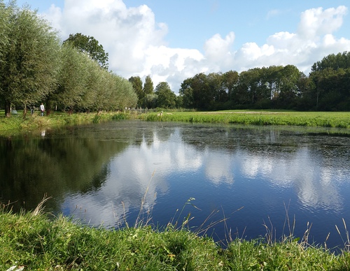
De route volgt het spoor naar de noordrand van Castricum, langs de Schulpvaart. Aan de oostrand van Castricum langs het Gerbrandsven volg je de waterpartijen het dorp in naar de sfeervolle Dorpsstraat met leuke winkels, het oude Raadhuis (nu hotel en grand café) en daarachter de 12de-eeuwse tufstenen Dorpskerk.
-
 To add this route in the app: scan the QR code from within the app. or enter the route number 19337 in.
 - 7.54 km
-
 Closed route
-
 Soon-to-be closed route
-
 Reports
-
 Hike point
-
 Starting point
-
 One-way path
Scroll the table below horizontally to see more

| From | To | Segment length | Marking(s) | Characteristics | Reports |
|---|---|---|---|---|---|
|
Startpunt station castricum (toeristisch overstappunt) |
0.07 km |
|
|
|
|
| 0.47 km |
|
|
|
||
| 0.98 km |
|
|
|
||
| 2.46 km |
|
|
|
||
| 0.89 km |
|
|
|
||
| 2.15 km |
|
|
|
||
|
Startpunt station castricum (toeristisch overstappunt) |
0.58 km |
|
|
|