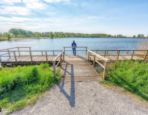
Starting point Westbroekplas
Three marked walking routes depart from this point and pass through Spaarnwoude Park: a diverse region of forests, polders, peat meadows, marshes and water. There are also two forts that were part of the Defence Line of Amsterdam, a former line of defence around the capital (1880-1914).
- The Fortress Route (green) passes by Fort benoorden Spaarndam and Fort bezuiden Spaarndam. The first is an imposing fort for which a new use is being developed. The smaller Fort bezuiden Spaarndam, near Mooie Nel recreational lake, has a tiny museum about the Defence Line of Amsterdam and a cosy café with a terrace. Another highlight is the village of Spaarndam, which originated as a small settlement where the river IJ flowed into the Spaarne. Count Floris Vliet built a dam with sluices there so that the IJ could no longer flood. The village owes its name to this 'Sparendam'.
- The Velserbroek Tour (purple) crosses Zijkanaal B and the A9 and runs almost entirely around the Westbroekplas. Via the green residential area of Velserbroek, you return to Boerenerf Spaarnwoude farm, traditionally known as Zorgvrij.
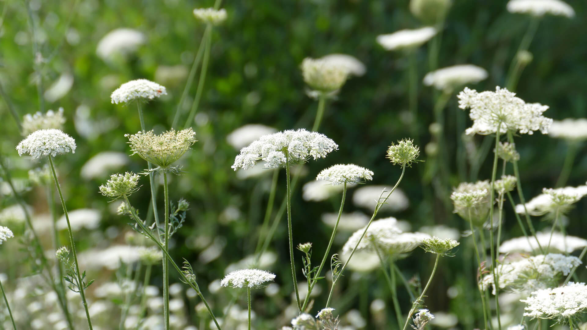
- The Hekslootpolder Tour (yellow) also passes the Spaarne. You walk along the old Slaperdijk - which used to hold back the water - and along the Heksloot. The polder served as a firing range for the Defence Line of Amsterdam and was not allowed to be built on. Now lapwings, godwits, geese and coots call it home.
Photo: Westphil Photography
© OpenStreetMap contributors